


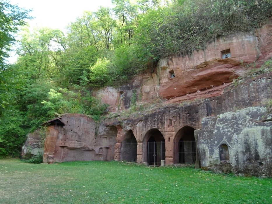
vom Bahnhof in Bad Kreuznach durch die Innenstadt in di Weinberge, treffe auf den 'Eremitenpfad', folge dem Pfad zur Felseneremitage, von dort geht es zurück durch die Weinberge nach Bad Kreuznach
Further information at
https://sonntagswandern.de/von-bad-kreuznach-zur-bretzenheimer-felseneremitage-21-august-2022/Tour gallery
Tour map and elevation profile
Minimum height 6 m
Maximum height 140 m
More about the tour author

|
Sonntagswanderin |
Comments

mit der Bahn nach Bad Kreuznach
GPS tracks
Trackpoints-
GPX / Garmin Map Source (gpx) download
-
TCX / Garmin Training Center® (tcx) download
-
CRS / Garmin Training Center® (crs) download
-
Google Earth (kml) download
-
G7ToWin (g7t) download
-
TTQV (trk) download
-
Overlay (ovl) download
-
Fugawi (txt) download
-
Kompass (DAV) Track (tk) download
-
Track data sheet (pdf) download
-
Original file of the author (gpx) download
More about the tour author
|
|
Sonntagswanderin |
Add to my favorites
Remove from my favorites
Edit tags
Open track
My score
Rate