

Les Houches-Les Saisies
Les Houches-Col de Voza (1653m)-Le Champel-La Villette-
La Chapelle-Les Contamines-Col du Jolly (1989m)-
Les Saisies
Zum Col de Voza großteils sehr steile Familienabfahrt hinauf. Runter zunächst auch steile Schotterstraße, dann Asphalt.Rauf nach La Champel steile Straße. Unten hab ich spontan den trail entlang des Flusses genommen, herausfordernd aber lässig.
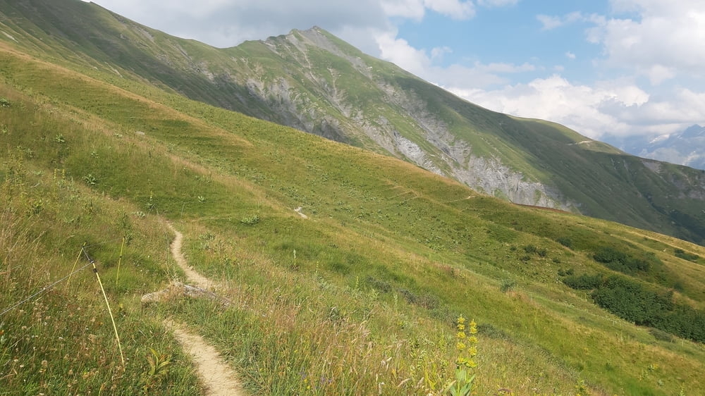
In Les Contamines beginnt dann der lange Anstieg. Gute Steigung, allerdings macht mir die Hitze schwer zu schaffen. Erst ab ca 1700m wird es angenehmer. Ab dem Col du Jolly beginnt ein lapidar als "Trail" bezeichneter Abschnitt,
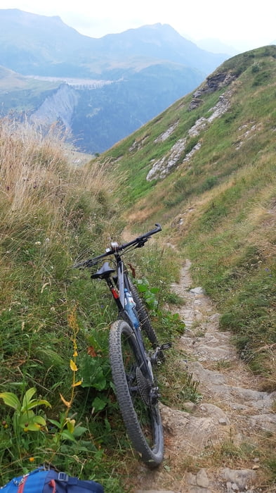
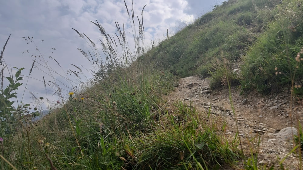
der es in sich hat. Dürfte eine offiz. MTB Strecke sein. Ca 7km Almweg, abgesehen von einer steilen Bergabschiebung von ca 200hm ist sie fahrbar, allerdings nicht ganz einfach
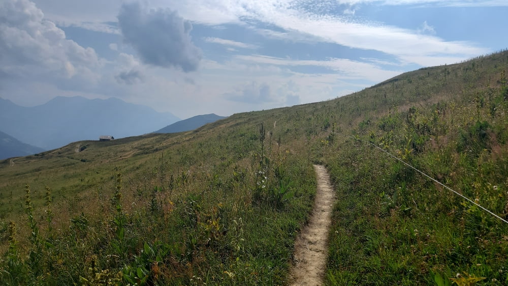
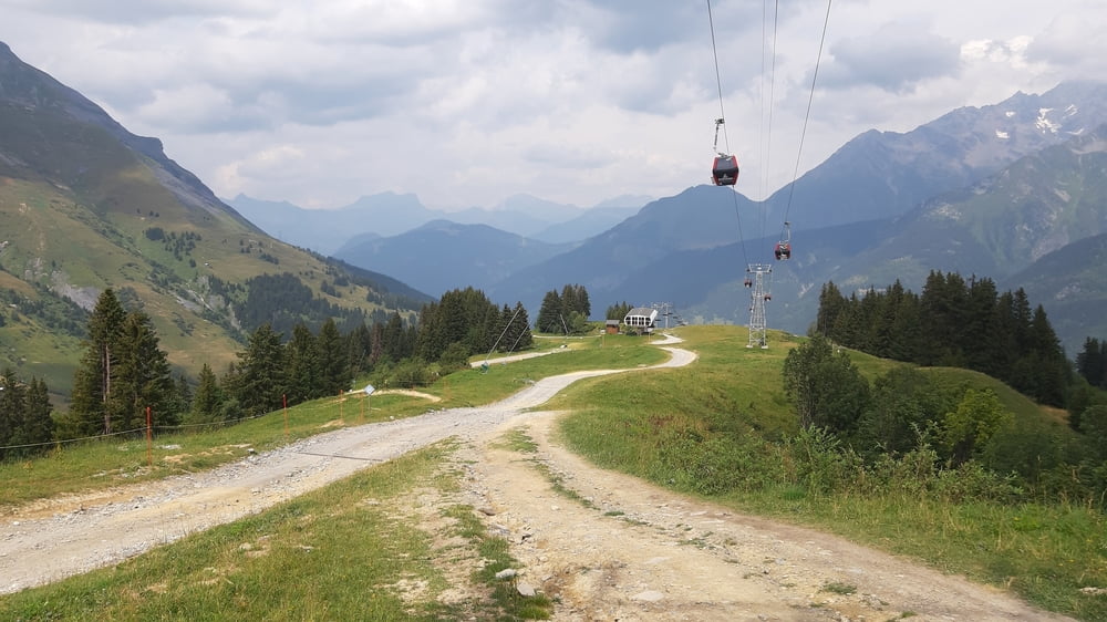
Zum Schluss noch off. MTB Strecke auf schöner Schotterstraße bis Les Saisies. Auch das ein Touri-Hotspot mit ua. großer Skater-Roller-Anlage. Quartier: Hotel Le Very im tiny room, dafür erträglicher Preis: 50€ NF. Essen machen können sie, die Franzosen!
Tour gallery
Tour map and elevation profile
Minimum height 972 m
Maximum height 2040 m
More about the tour author
|
|
mitter |
Comments

Start in Les Houches, Gite Michel Fagot.
GPS tracks
Trackpoints-
GPX / Garmin Map Source (gpx) download
-
TCX / Garmin Training Center® (tcx) download
-
CRS / Garmin Training Center® (crs) download
-
Google Earth (kml) download
-
G7ToWin (g7t) download
-
TTQV (trk) download
-
Overlay (ovl) download
-
Fugawi (txt) download
-
Kompass (DAV) Track (tk) download
-
Track data sheet (pdf) download
-
Original file of the author (gpx) download
More about the tour author
|
|
mitter |
Add to my favorites
Remove from my favorites
Edit tags
Open track
My score
Rate