


Von Trient über den Passo Bordala zum Gardasee
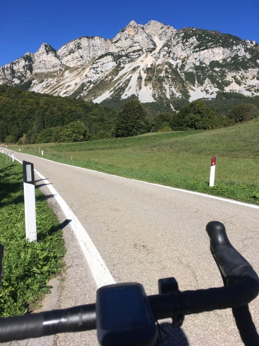
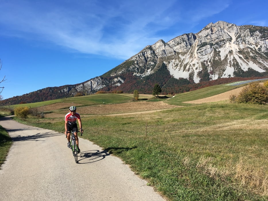
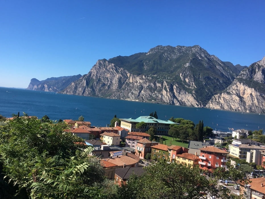
Die ersten 20 Km folgen wir dem Etschtal Radweg bis kurz vor Villa Lagarina bei Rovereto, nun in angenehmer Steigung ca 1000 Höhenmeter bergauf bis zum Passo Bordala (1250m). Es folgt eine flotte Abfahrt durchs Val di Gresta bis Loppio und ab hier Radweg bis Torbole.
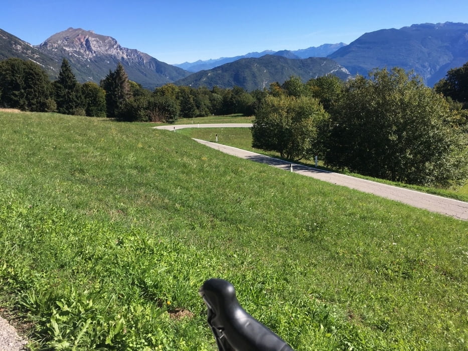
Zurück geht es über Arco, Dro zum Lago Di Cavedine und weiter zum Lago di Toblino. Jetzt bergauf über Vezzano, Ciago zum Lago di Terlago. Weiter bergauf, vorbei an Sopramonte und hinauf zur Monte Bondone Straße (Höhe 800m). Es folgt die letzte Abfahrt hinunter nach Trient.
Die Tour führt hauptsächlich auf Radwege oder wenig befahrenen Straßen, mit Ausnahme von 2 Km entlang des Lago di Toblino.
Die Steigungen sind moderat bis auf einige Meter von Vezzano hinauf nach Ciago (10 bis 12 %).
Further information at
https://www.gardatrentino.it/de/activity/lago-di-cavedine-centrale-fies_8237Tour gallery
Tour map and elevation profile
Minimum height 80 m
Maximum height 1256 m
More about the tour author
|
|
Califan |
Comments

kostenloser Parkplatz direkt bei der Autobahnausfahrt Trento centro
https://www.google.com/maps/place/Piazzale+Zuffo/@46.0763021,11.1082661,17.5z/data=!4m5!3m4!1s0x4782713959ed68b7:0xfcfcdf7a5258d9bb!8m2!3d46.0758479!4d11.1096253
GPS tracks
Trackpoints-
GPX / Garmin Map Source (gpx) download
-
TCX / Garmin Training Center® (tcx) download
-
CRS / Garmin Training Center® (crs) download
-
Google Earth (kml) download
-
G7ToWin (g7t) download
-
TTQV (trk) download
-
Overlay (ovl) download
-
Fugawi (txt) download
-
Kompass (DAV) Track (tk) download
-
Track data sheet (pdf) download
-
Original file of the author (gpx) download
More about the tour author
|
|
Califan |
Add to my favorites
Remove from my favorites
Edit tags
Open track
My score
Rate