


Von Auer zum Gardasee und retour.
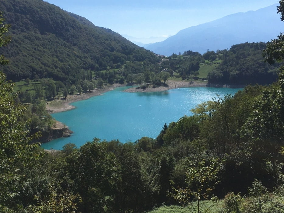
Von Auer geht es über den Etschtalradweg nach Mezzocorona und nun bergauf bis Andalo (1040m). Der erste Pass ist geschafft, weiter geht es nach Molveno hinunter und flach am gleichnamigen See entlang. Wir fahren weiter hinunter vorbei an San Lorenzo und nach der Brücke nehmen wir den Abzweig nach Stenico, man könnte auch gerade weiter nach Ponte Arche fahren. Es geht etwas bergauf und dann über eine Panoramastrasse nach Stenico und weiter nach Ponte Arche. Wir überqueren das Sarche Tal und haben die nächste Auffahrt zum Passo Ballino (755m) vor uns. Bei der Häusergruppe in Ballino, kurz nach der Passtafel, befindet sich ein Brunnen zum füllen der Flaschen. Jetzt ist es nur noch ein Katzensprung vorbei am Tennosee bis zum Gardasee.
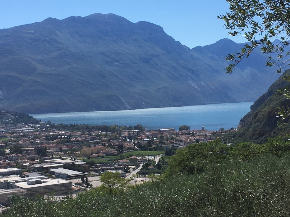
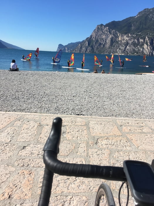
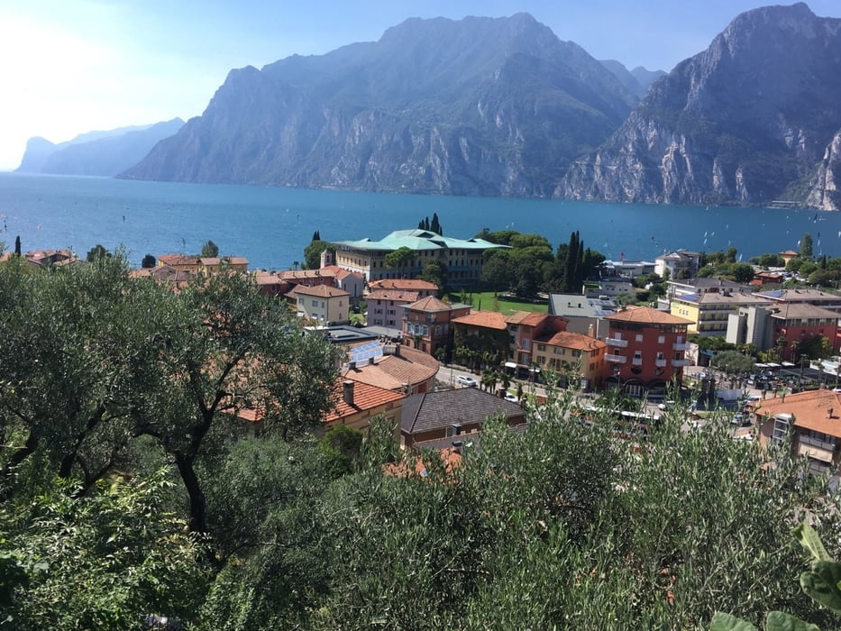
Einkehrmöglichkeiten gibt es zwischen Riva und Torbole viele, bevor es wieder kurz hinauf zum Passo San Giovanni (287m) geht. Ab jetzt flach zurück über Radweg nach Auer.
Wer bei stabiler Wetterlage diese Tour unternimmt hat Vormittag N Wind (Rückenwind) und ab ca. 13 Uhr S Wind auch wieder Rückenwind.
Ps. Man kann natürlich die Tour auch in San Michele starten. Autobahnausfahrt San Michele, Parkplatz in der Nähe. Ersparnis 40 Km.
Further information at
https://gardasee.it/de/Tour gallery
Tour map and elevation profile
Minimum height 96 m
Maximum height 1020 m
More about the tour author
|
|
Califan |
Comments

Start am Parkplatz nähe Autobahnausfahrt Neumarkt
https://www.google.com/maps/place/Parkplatz+Castelfeder/@46.334567,11.2796957,17.25z/data=!4m13!1m7!3m6!1s0x47821056b4759f37:0x678e59e3d6f102f1!2sPasso+S.+Giovanni,+38069+Nago-torbole+TN!3b1!8m2!3d45.8762875!4d10.904796!3m4!1s0x47828104b0c1983f:0x6d4a61d4992f3c8!8m2!3d46.333435!4d11.2816926
GPS tracks
Trackpoints-
GPX / Garmin Map Source (gpx) download
-
TCX / Garmin Training Center® (tcx) download
-
CRS / Garmin Training Center® (crs) download
-
Google Earth (kml) download
-
G7ToWin (g7t) download
-
TTQV (trk) download
-
Overlay (ovl) download
-
Fugawi (txt) download
-
Kompass (DAV) Track (tk) download
-
Track data sheet (pdf) download
-
Original file of the author (gpx) download
More about the tour author
|
|
Califan |
Add to my favorites
Remove from my favorites
Edit tags
Open track
My score
Rate