


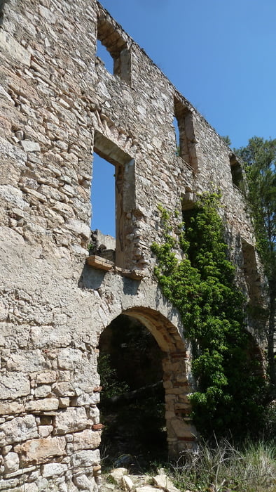
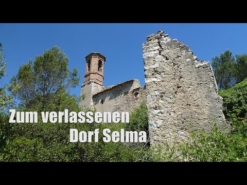
Es ist eine schöne und empfehlenswerte Tour ohne nennenswerte Schwierigkeiten. Tolle Ausblicke auf Selma, die Reben und das Hinterland der Costa Dorada. Der verlassene Ort ist spannend anzuschauen und eignet sich gut für eine Pause. Der zweite Teil der Tour führt durch Wälder und Felder und wird mit der Zeit relative eintönig. Wir haben die Wanderung im Juni gemacht, durch den leichten Wind und die vielen schattigen Abschnitte ist die Runde gut zu laufen.
Tour gallery


Tour map and elevation profile
Minimum height 99999 m
Maximum height -99999 m
More about the tour author
|
|
schleidy |
Comments

GPS tracks
Trackpoints-
GPX / Garmin Map Source (gpx) download
-
TCX / Garmin Training Center® (tcx) download
-
CRS / Garmin Training Center® (crs) download
-
Google Earth (kml) download
-
G7ToWin (g7t) download
-
TTQV (trk) download
-
Overlay (ovl) download
-
Fugawi (txt) download
-
Kompass (DAV) Track (tk) download
-
Track data sheet (pdf) download
-
Original file of the author (gpx) download
More about the tour author
|
|
schleidy |
Add to my favorites
Remove from my favorites
Edit tags
Open track
My score
Rate