


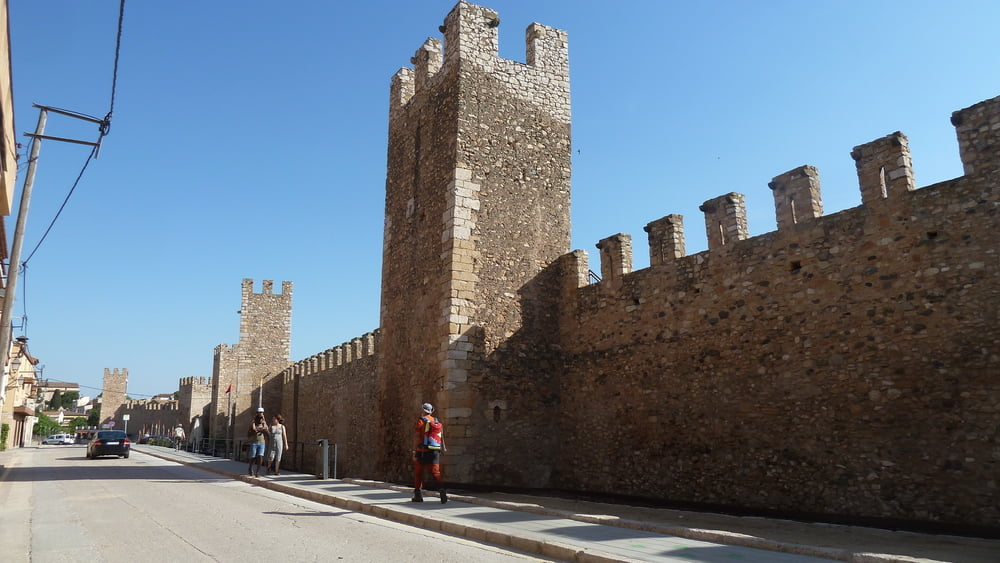
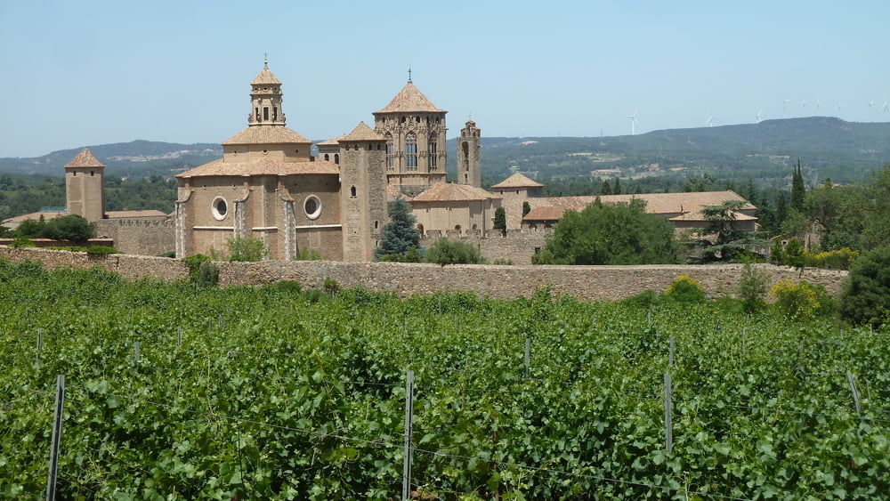
Voller Kraft und Tatentrang führt uns die Wanderung auf den Puntal del Vent hinauf. Vom Höchsten Punkt der Wanderung geht es ins Tal an der Ermita de la Santissima Trinitat vorbei bevor erneut ein Anstieg auf den Ausläufer des Tossal de la Creu hinauf führt. Von dort senkt sich die Wanderung zum Kloster Santa Maria de Poblét. Der Rückweg bring uns an der Ortschaft L Espluga de Francoli vorbei bis es durch die Ackerflächen zurück nach Montblanc geht
Tour gallery

Tour map and elevation profile
Minimum height 99999 m
Maximum height -99999 m
More about the tour author
|
|
schleidy |
Comments

GPS tracks
Trackpoints-
GPX / Garmin Map Source (gpx) download
-
TCX / Garmin Training Center® (tcx) download
-
CRS / Garmin Training Center® (crs) download
-
Google Earth (kml) download
-
G7ToWin (g7t) download
-
TTQV (trk) download
-
Overlay (ovl) download
-
Fugawi (txt) download
-
Kompass (DAV) Track (tk) download
-
Track data sheet (pdf) download
-
Original file of the author (gpx) download
More about the tour author
|
|
schleidy |
Add to my favorites
Remove from my favorites
Edit tags
Open track
My score
Rate