

Meine Wanderung beginnt direkt an unserem Ferienquartier, der Bärofenhütte. Koordinaten und Link siehe unten.
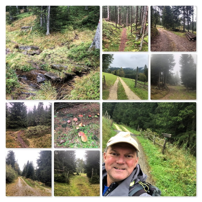
Unmittelbar vor der Hütte beginnt die Wanderung und führt zum gut markierten Wanderweg, der an der Hütte und Grundstück entlang führt. Ich folge diesem Wanderweg bergab bis zur Straße bzw. bis zum Wegweiser zum Gasthof Langhans.
Nun folge ich der Forststraße (Fahrverbotstafel), gehe an einem Haus links vorbei, dann komme ich zur Abzweigung zur Bärofenhütte und nach einigen hundert Metern weiter, zu einer (Sommer-) Alm. Ich gehe an / vor der Alm vorbei, passiere ein Marterl und folge dann der Forststraße bergauf bis zur Weißalm.
Ich überquere die Weiden und folge dem Wanderweg durch den Wald.
Etwas unterhalb des Bärofen gehe ich hinter dem Gipfel (1720m) vorbei und komme zum Roschachkogel (1647m). Nach der Umrundung des Roschachkogels quere ich wieder eine große Weide und komme zurück zum markieren Wanderweg hinauf auf den Bärofen bzw. talwärts zum Gasthof Langhans.
Das letzte Wegstück führt mich den Berg hinunter, direkt wieder zurück zu meinem Ausgangspunkt.
Further information at
https://www.huettenpartner.com/huetten/frantschach/bof_ktn.htmlTour map and elevation profile
Minimum height 1271 m
Maximum height 1658 m
Comments

Der Startpunkt liegt an den Koordinaten: N46° 52' 41.8" E14° 58' 09.8"
Tipps:
Hütte in Kärnten Frantschach | BOF-KTN für bis zu 7 Pers. (huettenpartner.com)
Langhanshof – Langhans Urlaub am Bauernhof Ferienwohnung Gasthaus Pension
GPS tracks
Trackpoints-
GPX / Garmin Map Source (gpx) download
-
TCX / Garmin Training Center® (tcx) download
-
CRS / Garmin Training Center® (crs) download
-
Google Earth (kml) download
-
G7ToWin (g7t) download
-
TTQV (trk) download
-
Overlay (ovl) download
-
Fugawi (txt) download
-
Kompass (DAV) Track (tk) download
-
Track data sheet (pdf) download
-
Original file of the author (gpx) download
Add to my favorites
Remove from my favorites
Edit tags
Open track
My score
Rate