

Teils sehr kräfteraubende Auffahrt am urig verwachsenen Bleicherbach entlang.
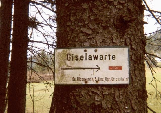
Am höchsten Punkt der Tour (Giselawarte) gibt es eine gute Einkehrmöglichkeit.
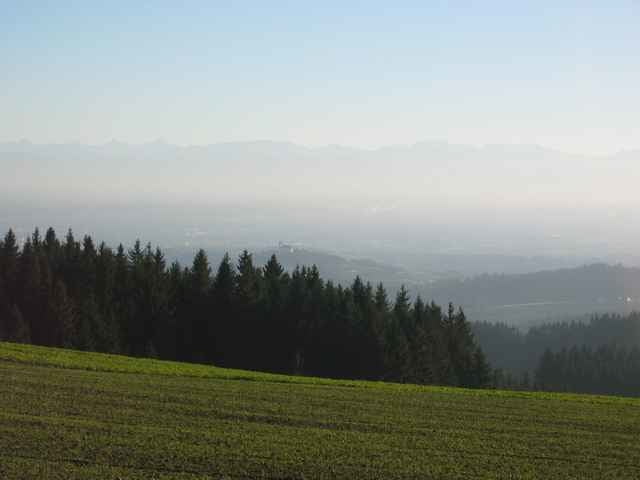
Anschließend geht´s fast nur mehr bergab mit teilweise schönen Trails in weiterer Folge entland der großen Rodl.
Am höchsten Punkt der Tour (Giselawarte) gibt es eine gute Einkehrmöglichkeit.
Anschließend geht´s fast nur mehr bergab mit teilweise schönen Trails in weiterer Folge entland der großen Rodl.
Tour gallery
Tour map and elevation profile
Minimum height 224 m
Maximum height 869 m
More about the tour author
|
|
ingo |
Comments
Am Hauptplatz in Ottensheim mit dem Rad ein kurzes Stück Richtung Linz und in das Bleichbachtal hinein.
GPS tracks
Trackpoints-
GPX / Garmin Map Source (gpx) download
-
TCX / Garmin Training Center® (tcx) download
-
CRS / Garmin Training Center® (crs) download
-
Google Earth (kml) download
-
G7ToWin (g7t) download
-
TTQV (trk) download
-
Overlay (ovl) download
-
Fugawi (txt) download
-
Kompass (DAV) Track (tk) download
-
Track data sheet (pdf) download
-
Original file of the author (g7t) download
More about the tour author
|
|
ingo |
Add to my favorites
Remove from my favorites
Edit tags
Open track
My score
Rate
Obwohl einige Jahre alt, verläßliche Streckenführung.
Mir hat`s gefallen.
Gruß Leo