


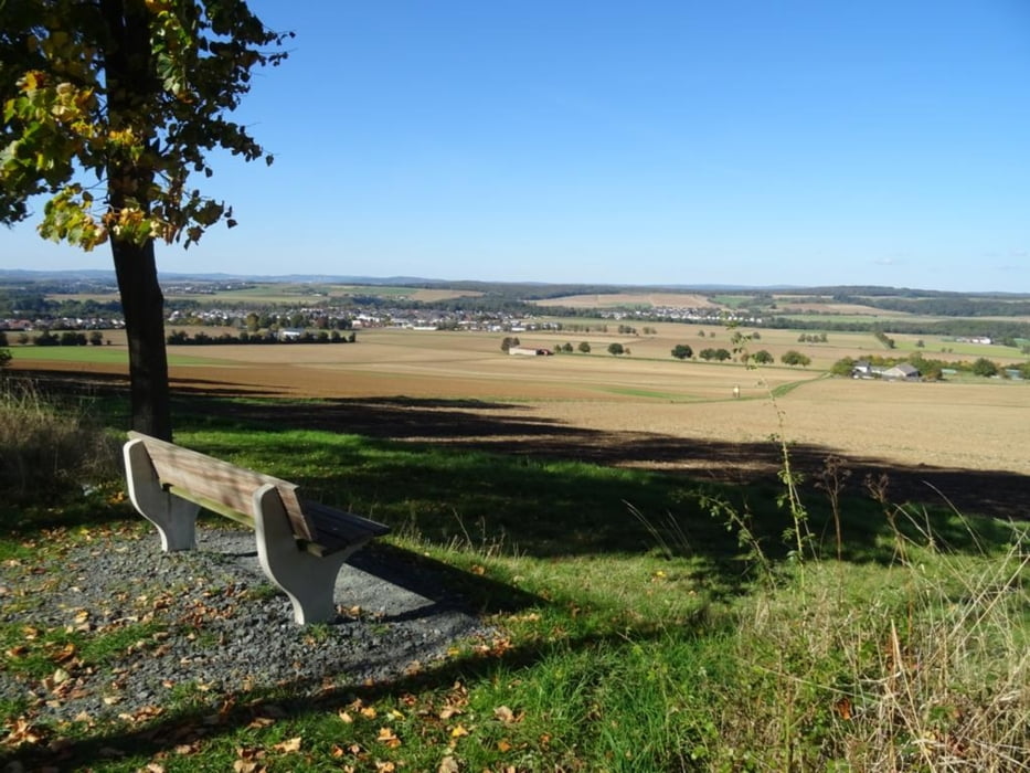
Vom Parkplatz ausgeht es erst durch den Ort Villmar, dann eine ganze Weile an der Lahn entlang, am Naturfreundehaus biege ich ab und es geht in Richtung Galgenberg, nach einer Pause am Berg geht es zurück zum Parkplatz
Further information at
https://sonntagswandern.de/durch-villmar-dann-an-der-lahn-entlang-und-zum-galgenberg-9-oktober-2022/Tour gallery
Tour map and elevation profile
Minimum height 51 m
Maximum height 207 m
More about the tour author

|
Sonntagswanderin |
Comments

von der B8 in Richtung Villmar fahren, auf die Weilburger Strasse abbiegen, Parkplatz an der Brotstrasse anfahren
GPS tracks
Trackpoints-
GPX / Garmin Map Source (gpx) download
-
TCX / Garmin Training Center® (tcx) download
-
CRS / Garmin Training Center® (crs) download
-
Google Earth (kml) download
-
G7ToWin (g7t) download
-
TTQV (trk) download
-
Overlay (ovl) download
-
Fugawi (txt) download
-
Kompass (DAV) Track (tk) download
-
Track data sheet (pdf) download
-
Original file of the author (gpx) download
More about the tour author
|
|
Sonntagswanderin |
Add to my favorites
Remove from my favorites
Edit tags
Open track
My score
Rate