


Wir starten direkt am Hotel Maristella in Algajola.
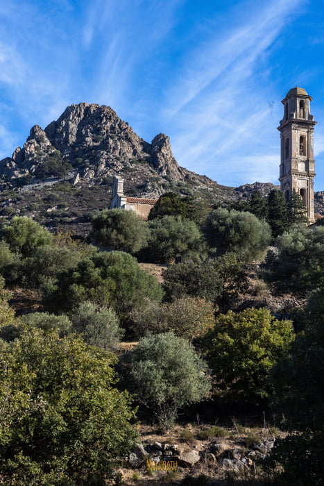
Wir wandern abermals über die gut begehbaren Hirtenwege. Zuerst hinauf in Richtung zum Kloster Corbara und danach weiter zum aussichtsreichsten Gipfel dem Monte Sant' Angelo (562m). Nach ca. 400 zurück gelegten Höhenmetern beginnen wir mit dem Gipfelanstieg. Der Anstieg ist denen in den Alpen in seiner Beschaffenheit sehr ähnlich, gut begehbarer Fels- und Schotterwege. Der finale Anstiegsweg bietet eine kurze aber herrliche Felskletterei bis hinauf zum Gipfel. Die Aussicht ist brachial, rundherum. Wir haben bestes Bergwetter mit starkem Wind und hier oben gibt es zur Abwechslung auch ein echtes Gipfelkreuz.
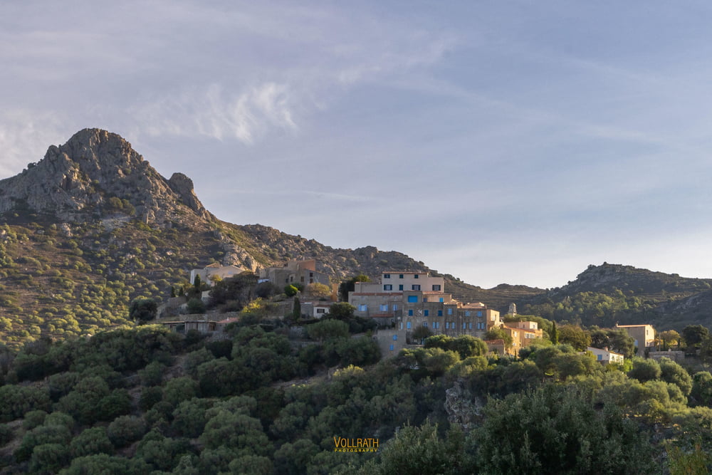
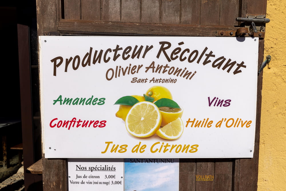
Der Abstieg und der weitere Weg führt uns in das verträumte Bergdorf Saint Antonino. Hier hat das Hotel Maristella in den Räumen von Oliver Antonini (Herstellung+Vertrieb von Konfitüre, Wein, Olivenöl) uns zu einem Picknick eingeladen.
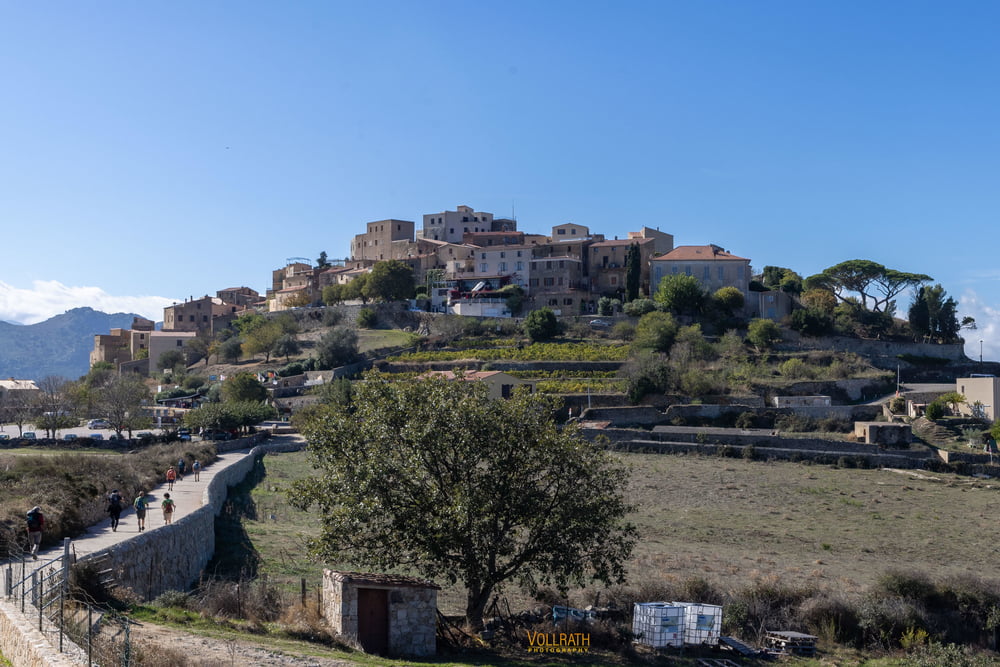
Nach dieser wohlschmeckenden Stärkung steigen wir weiter ab über das Künstlerdorf Pigna und wandern zurück zum Ausgangspunkt dem Hotel Maristella.
Further information at
https://www.vollrath-photography.de/Tour gallery
Tour map and elevation profile
Minimum height 529 m
Maximum height 1209 m
More about the tour author
|
|
Pointer |
Comments

Diese Tour hat keine Anfahrt. Sie startet direkt am Hotel Maristella in Agajola
GPS tracks
Trackpoints-
GPX / Garmin Map Source (gpx) download
-
TCX / Garmin Training Center® (tcx) download
-
CRS / Garmin Training Center® (crs) download
-
Google Earth (kml) download
-
G7ToWin (g7t) download
-
TTQV (trk) download
-
Overlay (ovl) download
-
Fugawi (txt) download
-
Kompass (DAV) Track (tk) download
-
Track data sheet (pdf) download
-
Original file of the author (gpx) download
More about the tour author
|
|
Pointer |
Add to my favorites
Remove from my favorites
Edit tags
Open track
My score
Rate