


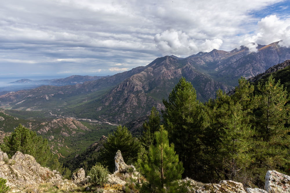
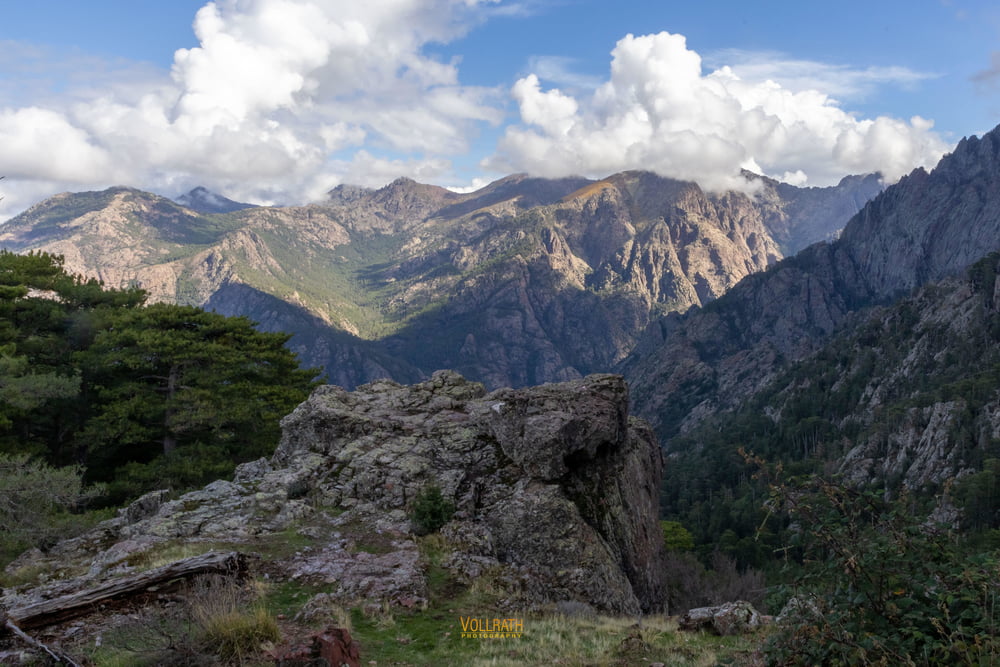
Der Fouret de Bonifato ist ein ca. 3000 ha großer Staatsforst im Nordwesten Korsikas. Er wird durchzogen vom Fluss Figarella.
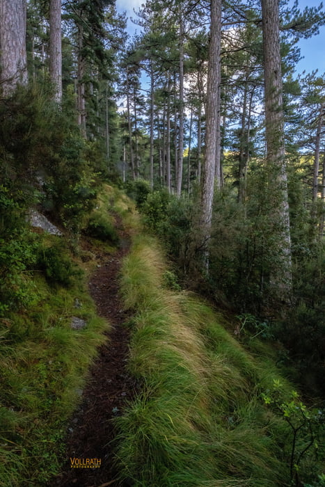
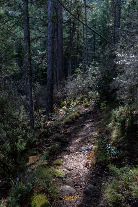
Aufwärts geht es durch den fast überwiegend schattigen Bergwald. Der Steig ist sanft ansteigend und nur selten etwas steiler im Anstieg. Meißt moderat und gut begehbar.
Auffällig ist in erster Linie die absolute Ruhe die hier oben herrscht, keinerlei Umgebungsgeräusche zu hören, ausser vielleicht das Summen der Fliegen...
Der Wald hat ungewohnt starken und langen Grasbewuchs und jede Menge Farngewächse. Einige Bäume sind abgestorben und "warten" bis sie letztendlich umfallen und dem Wald neuen Dünger und Platz zu liefern für das Wachstum der Nachkömmlinge.
Am Ende der Tour werden wir von unserem Bus abgeholt der uns sodann zurück zum Hotel Maristella bringt.
Further information at
https://www.vollrath-photography.de/Tour gallery
Tour map and elevation profile
Minimum height 529 m
Maximum height 1209 m
More about the tour author
|
|
Pointer |
Comments

Mit dem Bus vom Hotel Maristella zum Startpunkt der Tour im Fouret de Bonifato.
GPS tracks
Trackpoints-
GPX / Garmin Map Source (gpx) download
-
TCX / Garmin Training Center® (tcx) download
-
CRS / Garmin Training Center® (crs) download
-
Google Earth (kml) download
-
G7ToWin (g7t) download
-
TTQV (trk) download
-
Overlay (ovl) download
-
Fugawi (txt) download
-
Kompass (DAV) Track (tk) download
-
Track data sheet (pdf) download
-
Original file of the author (gpx) download
More about the tour author
|
|
Pointer |
Add to my favorites
Remove from my favorites
Edit tags
Open track
My score
Rate