Login

Forgot your login?

Cookies have to be accepted!
Your browser's cookie functionality is disabled. Please enable this functionality.

Not a member yet?

Register now
Login

Available for registred users only

Log in to use this feature.

Forgot your login?

Cookies have to be accepted!
Your browser's cookie functionality is disabled. Please enable this functionality.

Not a member yet?

Register now
Filter
Categories
Advanced filters
  • Distance (km)
  • Height
Save filters Reset filter

TrackRank

QRCode

Technical data

Distance24,7 km Height1065 m Way down1052 m Duration02:00 h:m Date02.07.2008
Scores Author User Landscape Fun factor Fitness Technique

Statistics

1483 Views 1 Score 196 Downloads 3.00 Average
Rate
  • Track data sheet
  • Directions
  • Downloads
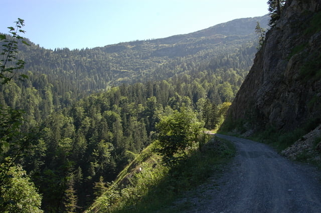
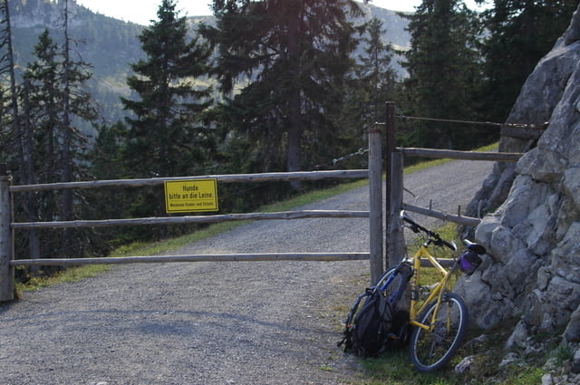
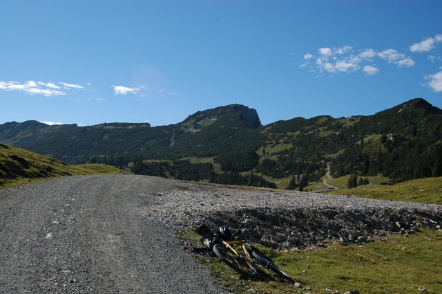
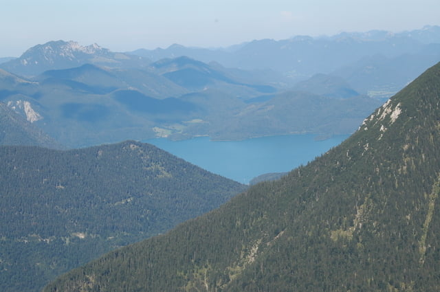
Schöne Tour mit langer teilweise auch steiler Auffahrt....sehr empfehlenswert ist noch der Gang bis zum Gipfel (ca. ne halbe Stunde Fussmarsch) wird belohnt mit einer Traumaussicht.

Tour gallery

Tour map and elevation profile

  • Open Street Map
  • Google
Minimum height 684 m Maximum height 1651 m Detailed view

More about the tour author

Ritzelflitzer
Member since 2008

Send private message

Comments

GPS tracks

Trackpoints
  • GPX / Garmin Map Source (gpx) download
  • TCX / Garmin Training Center® (tcx) download
  • CRS / Garmin Training Center® (crs) download
  • Google Earth (kml) download
  • G7ToWin (g7t) download
  • TTQV (trk) download
  • Overlay (ovl) download
  • Fugawi (txt) download
  • Kompass (DAV) Track (tk) download
  • Track data sheet (pdf) download
  • Original file of the author (gpx) download

More about the tour author

Ritzelflitzer
Member since 2008

Send private message
Share track
Add to my favorites
Remove from my favorites
Edit tags
My score
Rate
Track: Von Eschenlohe auf die Hohe Kisten
Type: Mountain bike
Distance: 24,7 km
Evaluated on:
Duration:
Day(s)
Hour(s)
Minute(s)
Score: Landscape Fun factor Fitness Technique