


- Rundkurs gegen den Uhrzeigersinn.
- Start/Ziel: Finale Ligure.
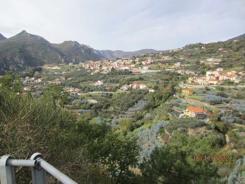
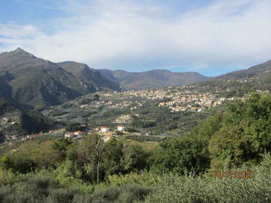
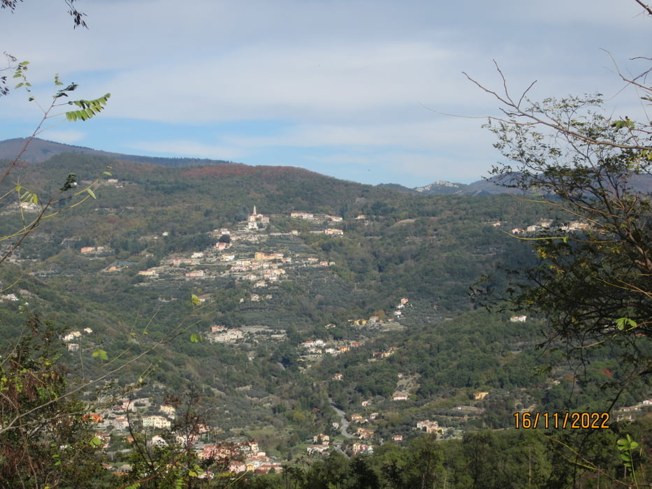
- Panoramarunde durch die Dörfer des Hinterlandes von Finale Ligure/Pietra Ligure.
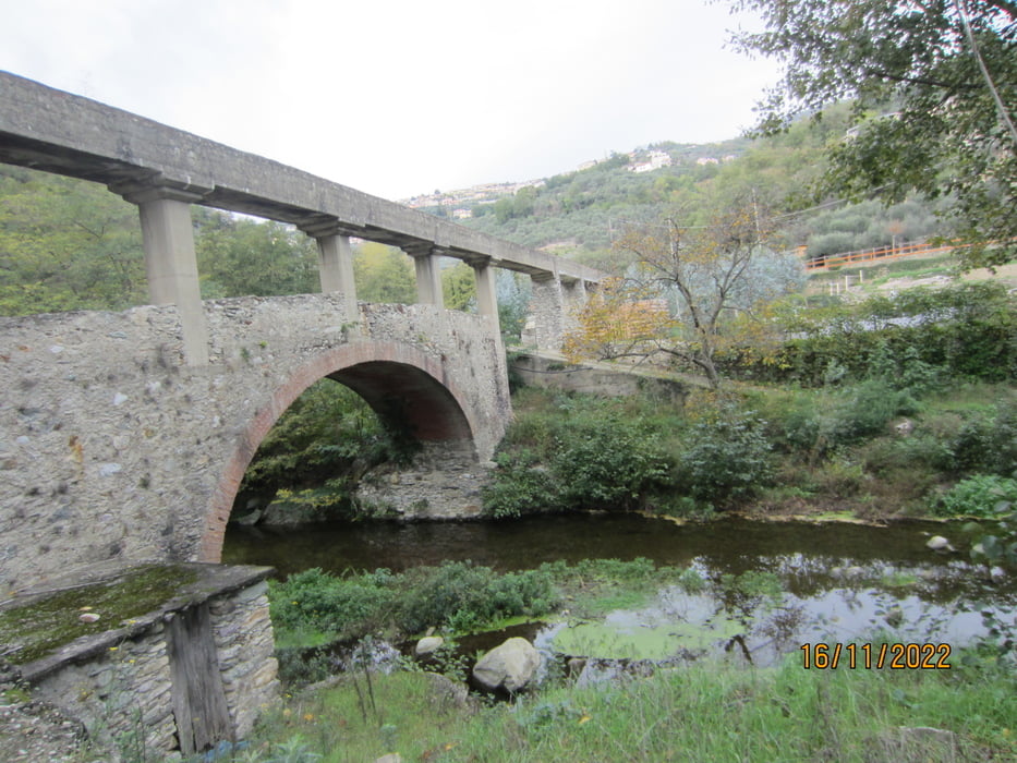
- Ca. 2 Km. etwas reger Verkehr auf breiter Staatsstrasse. Der Rest der Tour auf wenig befahrenen Provinzstrassen, bzw. kaum befahrenen Nebenstrassen.(16.11.2022).
- Entlang der Tour mehrere Einkehrmöglichkeiten(Trattorie/Bar).
- Die Tour ist Treking/Gravel tauglich.
- Die Anstiege sind sanft. Kurze etwas steilere Abschnitte.
- Super Rundblick.
Tour gallery

Tour map and elevation profile
Minimum height 97 m
Maximum height 728 m
More about the tour author
|
|
MargesinFriedrich |
Comments

GPS tracks
Trackpoints-
GPX / Garmin Map Source (gpx) download
-
TCX / Garmin Training Center® (tcx) download
-
CRS / Garmin Training Center® (crs) download
-
Google Earth (kml) download
-
G7ToWin (g7t) download
-
TTQV (trk) download
-
Overlay (ovl) download
-
Fugawi (txt) download
-
Kompass (DAV) Track (tk) download
-
Track data sheet (pdf) download
-
Original file of the author (gpx) download
More about the tour author
|
|
MargesinFriedrich |
Add to my favorites
Remove from my favorites
Edit tags
Open track
My score
Rate