
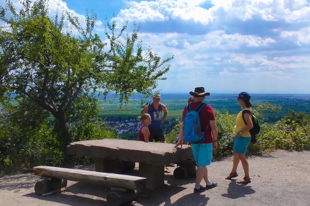

Diese Tour führt uns zunächst zur Michaelskapelle die einen ersten wunderbaren Ausblick
auf die Rheinebene eröffnet. Durch lichten Wald geht es weiter zu den sogenannten
Heidenlöchern. Dabei handelt es sich um weitgehend zerfallene Überreste einer ehemaligen
Höhenburg die höchstens noch erahnen lassen wie es dort vor einigen Jahrhunderten aus-
gesehen haben könnte. Danach folgt der Anstieg zum bekannten Eckkopfturm, einer kühnen
Stahlkonstruktion die auf dem Gipfel des 516 Meter hoch gelegenen Eckkopfes ein grandioses
360-Grad-Panorama bietet.
Tour map and elevation profile
Minimum height 201 m
Maximum height 507 m
More about the tour author
|
|
U.J._Alexander |
Comments

Wanderparkplatz Sensental in Deidesheim
GPS tracks
Trackpoints-
GPX / Garmin Map Source (gpx) download
-
TCX / Garmin Training Center® (tcx) download
-
CRS / Garmin Training Center® (crs) download
-
Google Earth (kml) download
-
G7ToWin (g7t) download
-
TTQV (trk) download
-
Overlay (ovl) download
-
Fugawi (txt) download
-
Kompass (DAV) Track (tk) download
-
Track data sheet (pdf) download
-
Original file of the author (gpx) download
More about the tour author
|
|
U.J._Alexander |
Add to my favorites
Remove from my favorites
Edit tags
Open track
My score
Rate