


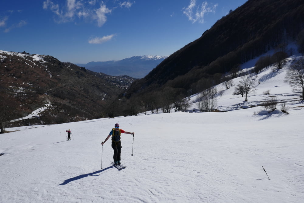
Von Novo Celo zunächst an einem Schafstall entlang auf Fahrweg bis über Brücke über den Bogowitska Bach. hier hat bei uns der Schnee angefangen. Nun rechts des Fahrwegs hinauf dann zunächst etwas flacher nach Westen. Dann wieder steiler werdend in leichtem Rechtsbogen auf den Gipfel. Abfahrt wie Aufstieg
Tour gallery

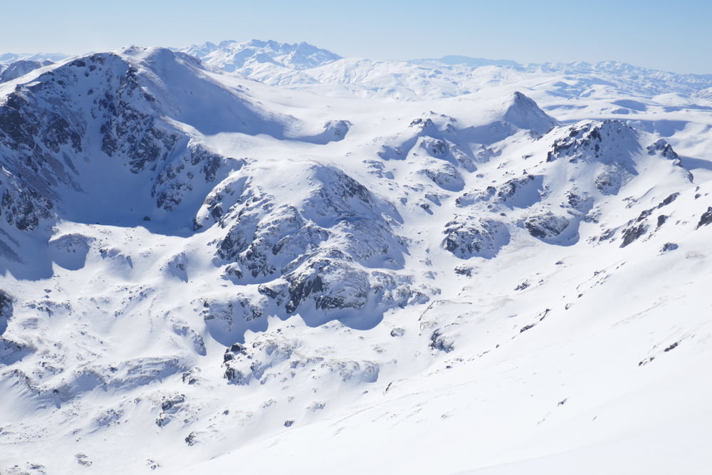
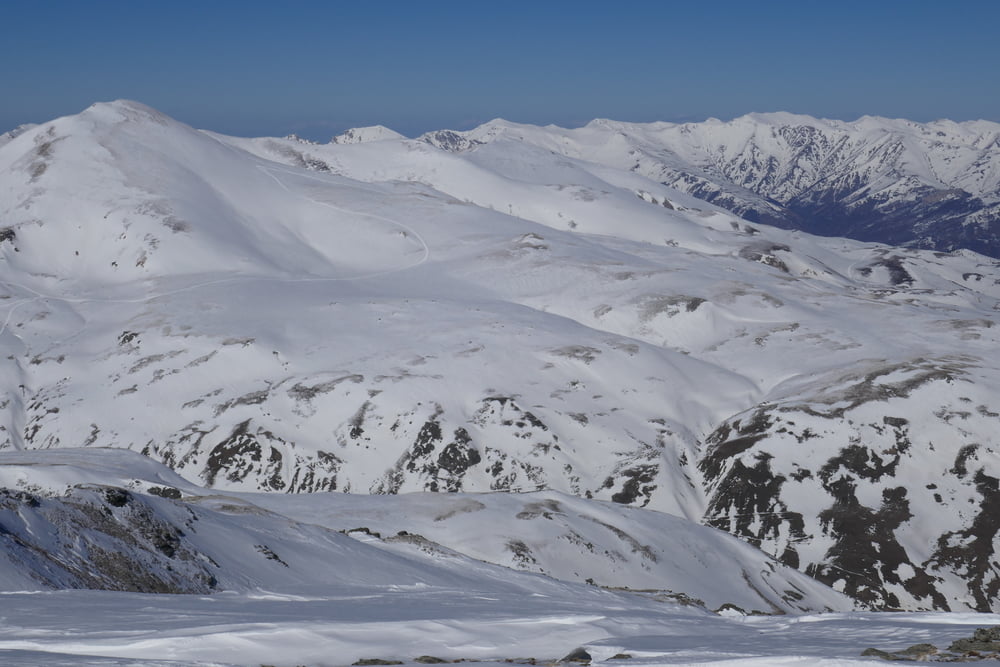
Tour map and elevation profile
Minimum height 1211 m
Maximum height 2711 m
More about the tour author

|
Gi |
Comments

von Tetovo über die Autobahn eine Ausfahrt nach Süden, und über die R1206 weiter nach süden bis zur Abzweigung nach Novo Celo. In Novo Celo allerhöchstens Parkmöglichkeit für ein Auto. Besser schon beim UCK Denkmal vor der Otschaft parken!
GPS tracks
Trackpoints-
GPX / Garmin Map Source (gpx) download
-
TCX / Garmin Training Center® (tcx) download
-
CRS / Garmin Training Center® (crs) download
-
Google Earth (kml) download
-
G7ToWin (g7t) download
-
TTQV (trk) download
-
Overlay (ovl) download
-
Fugawi (txt) download
-
Kompass (DAV) Track (tk) download
-
Track data sheet (pdf) download
-
Original file of the author (gpx) download
More about the tour author
|
|
Gi |
Add to my favorites
Remove from my favorites
Edit tags
Open track
My score
Rate