


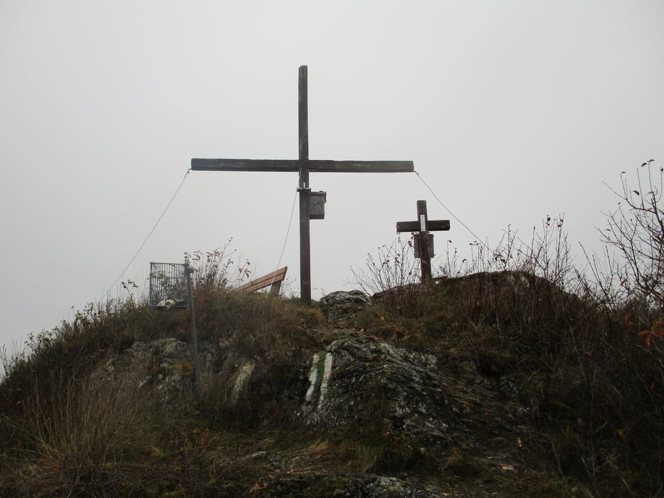
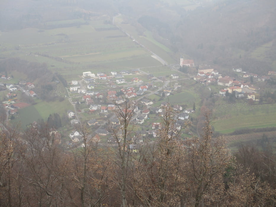
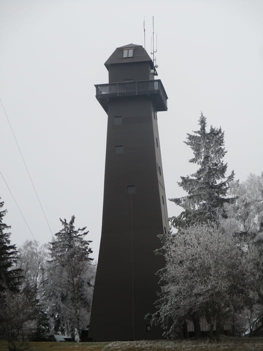
Von Mühldorf nach Maria Laach führt uns die Wanderung über den Berg Trenning (628 m) und die höchstgelegene Weinriede Niederösterrreichs (Ried Trenning) zum 960 m hohen Jauerling, dem höchsten Berg an der ganzen Donau. Wir wandern hinein in die Landschaft des Naturparks Jauerling-Wachau und erleben grandiose Panoramablicke vom Naturparkhaus, 915 m. Über das Jauerlinger Hochplateau und vorbei an den Weilern Gießhübl (mit Wehrhof), Zeißing (mit Wasserburg und Schlossruine) und Weinberg, erreichen wir den Wallfahrtsort Maria Laach mit seiner gotischen Wallfahrtskirche und dem Bauernmarkt.
Further information at
https://www.donau.com/de/wachau-nibelungengau-kremstal/ausflug-bewegen/bewegung/karten-touren-finden/detail/welterbesteig-wachau-05-muehldorf-maria-laach-naturpark-jauerling-wachau/736ff3ea315698e9c4a9279a3eba686f/Tour gallery

Tour map and elevation profile
Minimum height 395 m
Maximum height 1015 m
More about the tour author

|
JoHangler |
Comments

Auf der B3 bis Spitz und hinauf nach Mühldorf.
Von Maria Laach fährt wochentags ein Bus hinunter nach Melk (Aussteigen in Schalemmersdorf). Den Anschlussbus nach Spitz (Aussteigen in Hinterhaus). Den Anschlussbus hinauf nach Mühldorf.
Information unter www.vor.at
GPS tracks
Trackpoints-
GPX / Garmin Map Source (gpx) download
-
TCX / Garmin Training Center® (tcx) download
-
CRS / Garmin Training Center® (crs) download
-
Google Earth (kml) download
-
G7ToWin (g7t) download
-
TTQV (trk) download
-
Overlay (ovl) download
-
Fugawi (txt) download
-
Kompass (DAV) Track (tk) download
-
Track data sheet (pdf) download
-
Original file of the author (gpx) download
More about the tour author
|
|
JoHangler |
Add to my favorites
Remove from my favorites
Edit tags
Open track
My score
Rate