


Schöne aber schwere Tour auf verkehrsarmen Straßen.
Die Auffahrt auf den Ritten führt über Signat zum Wolfsgrubner See und hat immer wieder Steigungen im zweistelligen Bereich.
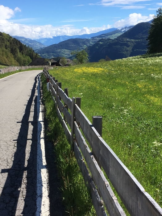
Ritten - Klausen: bergab mit kurzen Gegenanstiege.
Klausen - Lajen: auch hier einige kurze Steigungen im zweistelligen Bereich
Lajen - Panieder Sattel: bergab bis St.Ulrich mit anschliesenden Anstieg zum höchsten Punkt der Tour (1437m).
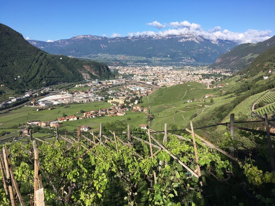
Rest bergab bis Bozen.
Further information at
https://www.suedtirol.info/deTour gallery
Tour map and elevation profile
Minimum height 206 m
Maximum height 1344 m
More about the tour author
|
|
Califan |
Comments

https://www.google.com/maps/place/46%C2%B029'54.3%22N+11%C2%B022'35.6%22E/@46.498426,11.3759233,173m/data=!3m2!1e3!4b1!4m6!3m5!1s0x0:0x5fc4af14c7e9c197!7e2!8m2!3d46.4984256!4d11.3765665
GPS tracks
Trackpoints-
GPX / Garmin Map Source (gpx) download
-
TCX / Garmin Training Center® (tcx) download
-
CRS / Garmin Training Center® (crs) download
-
Google Earth (kml) download
-
G7ToWin (g7t) download
-
TTQV (trk) download
-
Overlay (ovl) download
-
Fugawi (txt) download
-
Kompass (DAV) Track (tk) download
-
Track data sheet (pdf) download
-
Original file of the author (gpx) download
More about the tour author
|
|
Califan |
Add to my favorites
Remove from my favorites
Edit tags
Open track
My score
Rate