


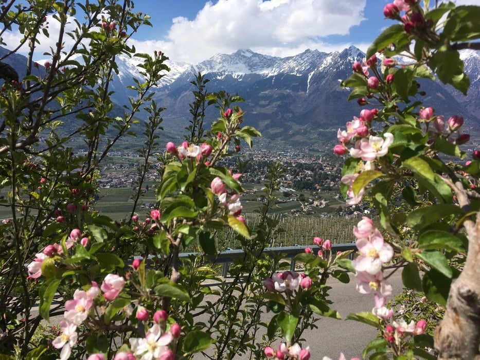
Von Bozen nach Meran über Radweg, dann ca 10 Km auf Talstraße mit etwas Verkehr bis Saltaus.
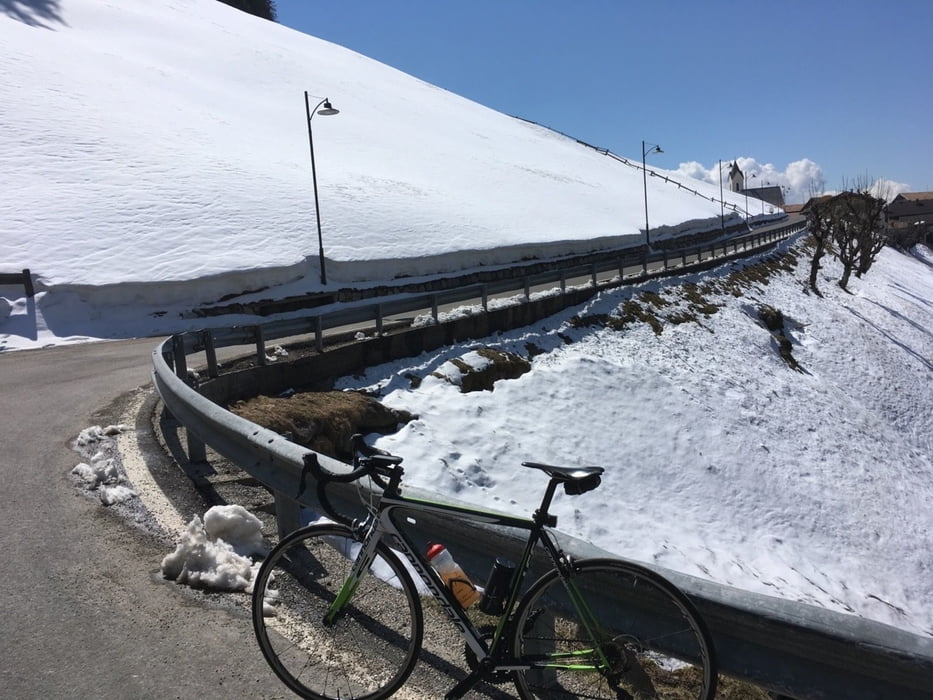
Ab hier 10 Km und 950 Hm bergauf ohne Verkehr aber immer zwischen 8 und 12 % Steigung.
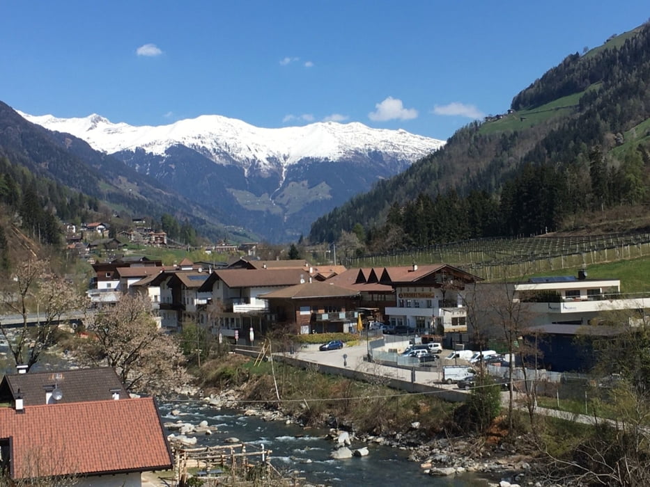
Jetzt hinunter nach Verdins, Schenna, Labers nach Sinich und über Radweg zurück nach Bozen.
Ihr findet alle meine Touren auch auf Strava.
Further information at
https://www.merano-suedtirol.it/de/passeiertal/aktivurlaub.htmlTour gallery
Tour map and elevation profile
Minimum height 268 m
Maximum height 1475 m
More about the tour author
|
|
Califan |
Comments

https://www.google.com/maps/@46.4982957,11.3761723,21z/data=!5m1!1e1
GPS tracks
Trackpoints-
GPX / Garmin Map Source (gpx) download
-
TCX / Garmin Training Center® (tcx) download
-
CRS / Garmin Training Center® (crs) download
-
Google Earth (kml) download
-
G7ToWin (g7t) download
-
TTQV (trk) download
-
Overlay (ovl) download
-
Fugawi (txt) download
-
Kompass (DAV) Track (tk) download
-
Track data sheet (pdf) download
-
Original file of the author (gpx) download
More about the tour author
|
|
Califan |
Add to my favorites
Remove from my favorites
Edit tags
Open track
My score
Rate