


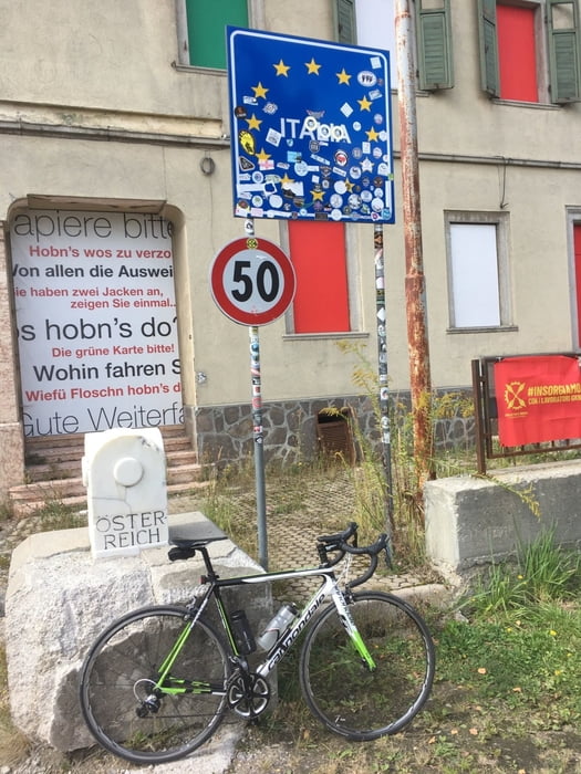
Von Bozen bis an die Grenze zu Österreich und zurück.
Lange Tour auf Radweg, außer ein Stück von Brixen nach Schabs, da hier der Radweg nicht empfehlenswert ist. Ansonsten ist der Radweg gut ausgeschildert. Er ist aber an manchen Stellen nicht Asphaltiert, aber trotzdem mit schmalen Reifen gut zu befahren.
Ihr findet alle meine Touren auch auf Strava.
Further information at
https://www.pustertal.org/de/freizeit-aktiv/rad-mountainbike/Tour gallery
Tour map and elevation profile
Minimum height 281 m
Maximum height 1225 m
More about the tour author
|
|
Califan |
Comments

https://www.google.com/maps/@46.4982957,11.3761723,21z/data=!5m1!1e1
GPS tracks
Trackpoints-
GPX / Garmin Map Source (gpx) download
-
TCX / Garmin Training Center® (tcx) download
-
CRS / Garmin Training Center® (crs) download
-
Google Earth (kml) download
-
G7ToWin (g7t) download
-
TTQV (trk) download
-
Overlay (ovl) download
-
Fugawi (txt) download
-
Kompass (DAV) Track (tk) download
-
Track data sheet (pdf) download
-
Original file of the author (gpx) download
More about the tour author
|
|
Califan |
Add to my favorites
Remove from my favorites
Edit tags
Open track
My score
Rate