


Von Trient nach Rovereto und über 5 Pässe zurück nach Trient.
Von Trient über Radweg nach Rovereto und über Albaredo - Anghebeni zum Passo Pian delle Fugazze. Bis hier ca 50 Km und 1400 Hm.
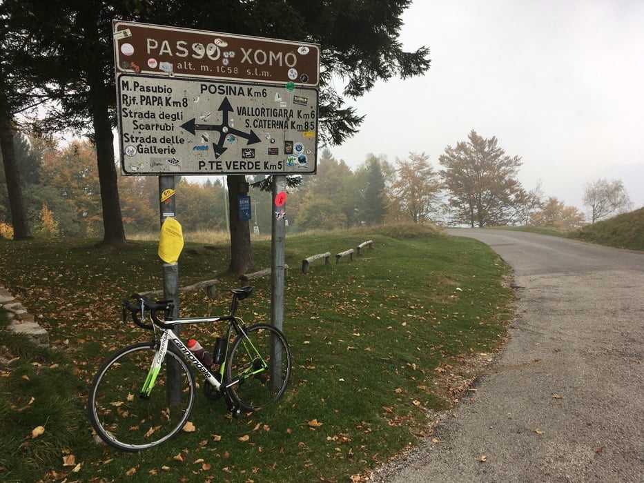
Zum Passo Xomo sind lediglich 200 Hm zu bewältigen.
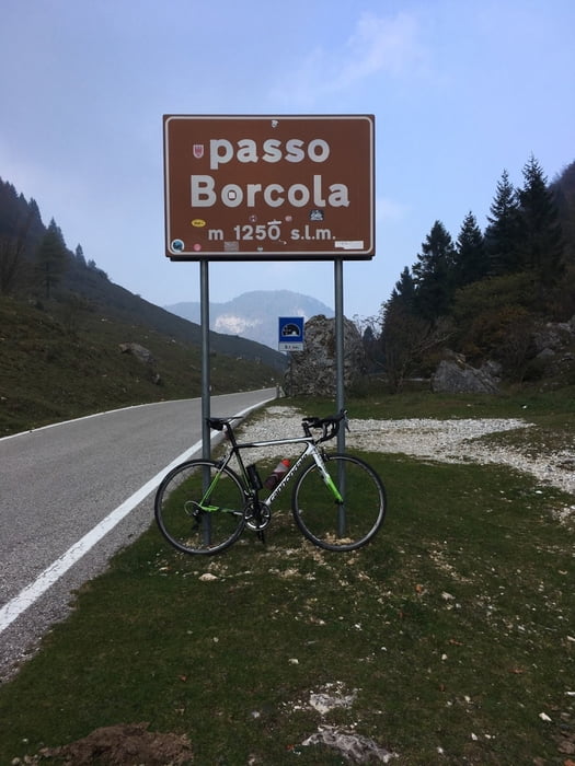
Weiter geht es zum Passo Borcola mit vielen Kehren und ca 600 Hm.
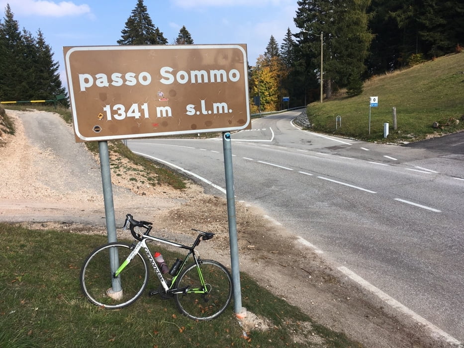
Es folgen 10 Km bergab bis zum Abzweig. Hinauf nach Serrada sind 500 Hm und ab Folgaria nochmal 200 Hm bis zum Passo del Sommo den höchsten Punkt dieser Tour.
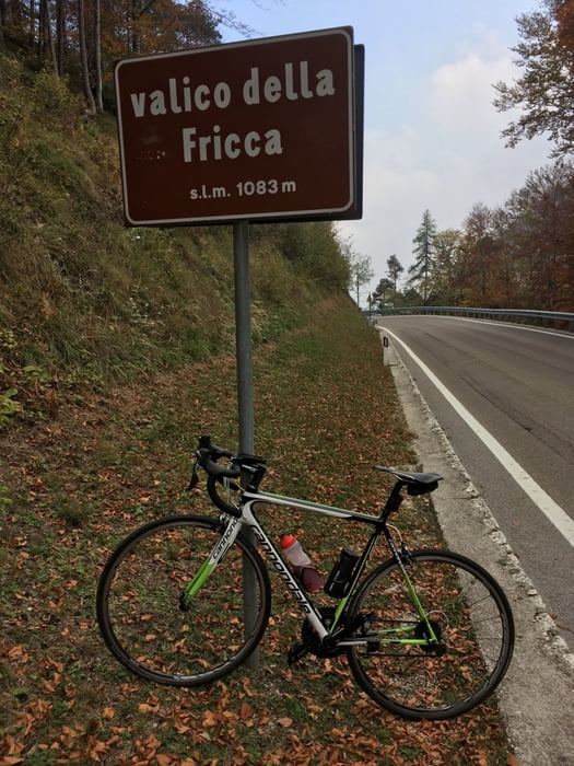
Nun hinab nach Carbonare und am Dorfanfang scharf lx Richtung Vattaro/Trento und ohne viele Höhenmeter zum Passo della Fricca.
Nach 10 Km kommt noch einmal ein Gegenanstieg hinauf nach Vigolo Vattaro. Ab hier bergab bis Trient.
Auf dieser Tour hat man wenig bis gar keinen Verkehr. Auch die Steigungen sind moderat und angenehm zu fahren.
- Es braucht auch eine Beleuchtung, da kurz nach Carbonare ein langer gut beleuchtetert Tunnel befahren werden muß.
- Die Straße über den Passo Borcola hat Auch Wintersperre und man sollte sich vorher hier informieren.
Ps. Alle meine Touren auch auf Strava.
Further information at
https://www.alpecimbra.it/de/entdecke-alpe-cimbra/orte/folgaria/66-0.htmlTour gallery
Tour map and elevation profile
Minimum height 182 m
Maximum height 1349 m
More about the tour author
|
|
Califan |
Comments

Parkplatz AB Ausfahrt Trient Süd
https://www.google.com/maps/place/Parcheggio+Casello+Trento+Sud/@46.034607,11.1183029,17z/data=!4m5!3m4!1s0x4782740db0268581:0xc94fbf337487bea8!8m2!3d46.0346068!4d11.1208778
GPS tracks
Trackpoints-
GPX / Garmin Map Source (gpx) download
-
TCX / Garmin Training Center® (tcx) download
-
CRS / Garmin Training Center® (crs) download
-
Google Earth (kml) download
-
G7ToWin (g7t) download
-
TTQV (trk) download
-
Overlay (ovl) download
-
Fugawi (txt) download
-
Kompass (DAV) Track (tk) download
-
Track data sheet (pdf) download
-
Original file of the author (gpx) download
More about the tour author
|
|
Califan |
Add to my favorites
Remove from my favorites
Edit tags
Open track
My score
Rate