Login

Forgot your login?

Cookies have to be accepted!
Your browser's cookie functionality is disabled. Please enable this functionality.

Not a member yet?

Register now
Login

Available for registred users only

Log in to use this feature.

Forgot your login?

Cookies have to be accepted!
Your browser's cookie functionality is disabled. Please enable this functionality.

Not a member yet?

Register now
Filter
Categories
Advanced filters
  • Distance (km)
  • Height
Save filters Reset filter

TrackRank

QRCode

Technical data

Distance14,6 km Height262 m Way down262 m Duration00:00 h:m Date01.01.2023
Scores Author Landscape Fun factor Fitness Technique

Statistics

143 Views Scores 3 Downloads Average
Rate
  • Track data sheet
  • Directions
  • Downloads
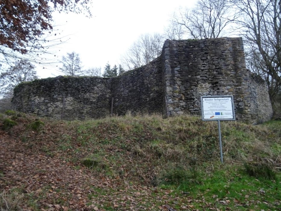
Die Wäller Tour führt von Irmtraut durch die schöne Landschaft des oberen Westerwaldes. Die Strecke ist sehr gut ausgeschildert und viele Info-Tafeln erklären die Lokalgeschichte. 

Further information at

https://sonntagswandern.de/hohe-hahnscheid-waeller-tour-mit-abstecher-zur-klosterruine-seligenstatt-1-januar-2023/

Tour gallery

Tour map and elevation profile

  • Open Street Map
  • Google
Minimum height 314 m Maximum height 438 m Detailed view

More about the tour author

Sonntagswanderin
Member since 2020

Send private message

Comments

über die B54 bis nach Irmtraut

GPS tracks

Trackpoints
  • GPX / Garmin Map Source (gpx) download
  • TCX / Garmin Training Center® (tcx) download
  • CRS / Garmin Training Center® (crs) download
  • Google Earth (kml) download
  • G7ToWin (g7t) download
  • TTQV (trk) download
  • Overlay (ovl) download
  • Fugawi (txt) download
  • Kompass (DAV) Track (tk) download
  • Track data sheet (pdf) download
  • Original file of the author (gpx) download

More about the tour author

Sonntagswanderin
Member since 2020

Send private message
Share track
Add to my favorites
Remove from my favorites
Edit tags
My score
Rate
Track: Hohe Hahnscheid - Waeller Tour mit Abstecher zur Klosterruine Seligenstatt
Type: Hiking
Distance: 14,6 km
Evaluated on:
Duration:
Day(s)
Hour(s)
Minute(s)
Score: Landscape Fun factor Fitness Technique