


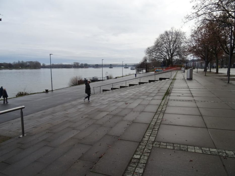
Vom S-Bahnhof Mainz-Kastel durch den Ort, am Geschichtsbrunnen vorbei zum Rheinufer, über die Theodor-Heuss-Brücke nach Mainz und dann am Rhein entlang, über die nächste Brücke nach Mainz Kostheim und zurück nach Mainz-Kastel und dem Museum Castellum in der Reduit
Further information at
https://sonntagswandern.de/mainz-kastel-bruecken-und-roemer-am-rhein-und-main-8-januar-2023/Tour gallery
Tour map and elevation profile
Minimum height 97 m
Maximum height 125 m
More about the tour author

|
Sonntagswanderin |
Comments

mit der S-Bahn oder RheingauLinie nach Mainz-Kastel
GPS tracks
Trackpoints-
GPX / Garmin Map Source (gpx) download
-
TCX / Garmin Training Center® (tcx) download
-
CRS / Garmin Training Center® (crs) download
-
Google Earth (kml) download
-
G7ToWin (g7t) download
-
TTQV (trk) download
-
Overlay (ovl) download
-
Fugawi (txt) download
-
Kompass (DAV) Track (tk) download
-
Track data sheet (pdf) download
-
Original file of the author (gpx) download
More about the tour author
|
|
Sonntagswanderin |
Add to my favorites
Remove from my favorites
Edit tags
Open track
My score
Rate