


Von Brig, nehmen die Weg bis Nanztal. Es ist immer Aufstiegen. Sie fahren zum Nanztal. Nehmen ein steile Weg und nachher Fussweg bis Bistinepass. Wenn Sie ein gute Kondition, es gibt kein trage. Hop Sie sind auf Bistinepass. Nehmen ein technike steinige Abfahrte bis Simplon pass. Nachher nehmen die StockalperWeg. Am Anfang, es gibt technike Passage aber nacher es ist sehr spielerisch. Sie foglen die Taferna.
Hop die Letzte Aufstige auf Strasse und die Letzte wunderbar Abfarhrte bis Brig !!!!
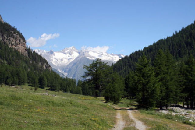
Tour gallery

Tour map and elevation profile
Minimum height 726 m
Maximum height 2469 m
More about the tour author

|
preusser |
Comments

GPS tracks
Trackpoints-
GPX / Garmin Map Source (gpx) download
-
TCX / Garmin Training Center® (tcx) download
-
CRS / Garmin Training Center® (crs) download
-
Google Earth (kml) download
-
G7ToWin (g7t) download
-
TTQV (trk) download
-
Overlay (ovl) download
-
Fugawi (txt) download
-
Kompass (DAV) Track (tk) download
-
Track data sheet (pdf) download
-
Original file of the author (gpx) download
More about the tour author
|
|
preusser |
Add to my favorites
Remove from my favorites
Edit tags
Open track
My score
Rate