Login

Forgot your login?

Cookies have to be accepted!
Your browser's cookie functionality is disabled. Please enable this functionality.

Not a member yet?

Register now
Login

Available for registred users only

Log in to use this feature.

Forgot your login?

Cookies have to be accepted!
Your browser's cookie functionality is disabled. Please enable this functionality.

Not a member yet?

Register now
Filter
Categories
Advanced filters
  • Distance (km)
  • Height
Save filters Reset filter

TrackRank

QRCode

Technical data

Distance11,6 km Height72 m Way down76 m Duration00:00 h:m Date19.02.2023
Scores Author Landscape Fun factor Fitness Technique

Statistics

183 Views Scores 0 Downloads Average
Rate
  • Track data sheet
  • Directions
  • Downloads
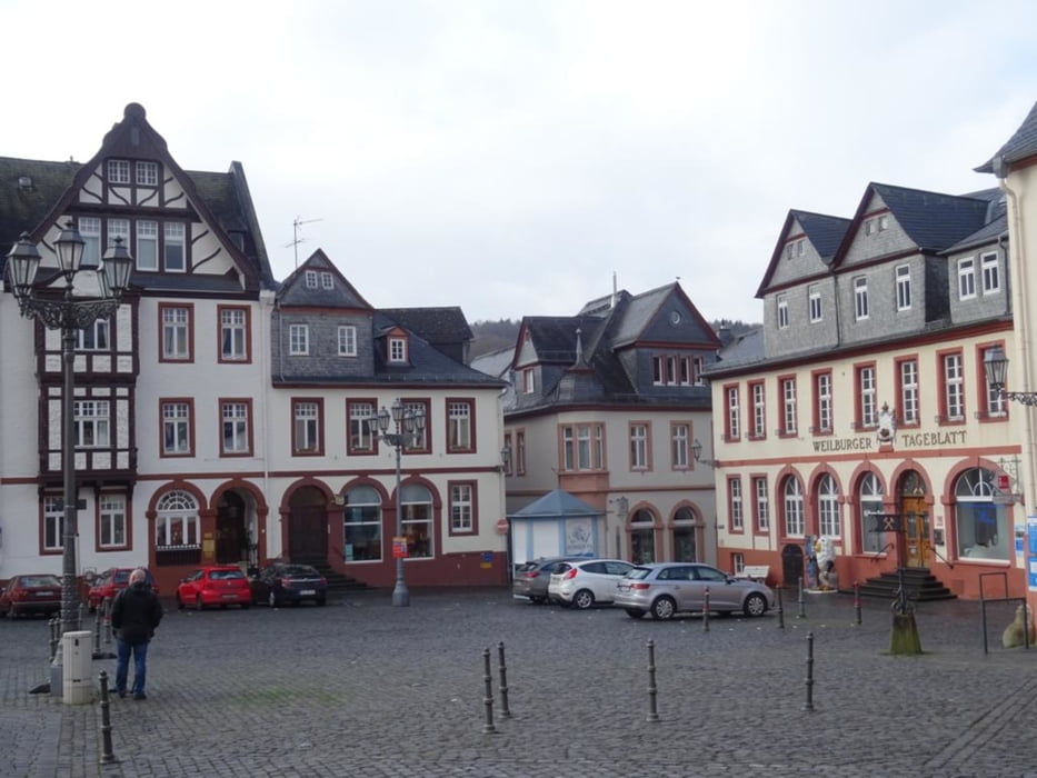
Von Fürfurt aus immer an der Lahn entlang bis nach Weilburg, nach dem Besuch des Kalvarienberges und es alten Friedhofes geht es weiter zum Weilburger Schloss, nach einem kurzen Rundgang geht es zum Bahnhof

Further information at

https://sonntagswandern.de/von-fuerfurt-nach-weilburg-auf-dem-leinpfad-an-der-lahn-entlang-19-februar-2023/

Tour gallery

Tour map and elevation profile

  • Open Street Map
  • Google
Minimum height 105 m Maximum height 152 m Detailed view

More about the tour author

Sonntagswanderin
Member since 2020

Send private message

Comments

Mit der Hessischen Landesbahn nach Fürfurt

GPS tracks

Trackpoints
  • GPX / Garmin Map Source (gpx) download
  • TCX / Garmin Training Center® (tcx) download
  • CRS / Garmin Training Center® (crs) download
  • Google Earth (kml) download
  • G7ToWin (g7t) download
  • TTQV (trk) download
  • Overlay (ovl) download
  • Fugawi (txt) download
  • Kompass (DAV) Track (tk) download
  • Track data sheet (pdf) download
  • Original file of the author (gpx) download

More about the tour author

Sonntagswanderin
Member since 2020

Send private message
Share track
Add to my favorites
Remove from my favorites
Edit tags
My score
Rate
Track: Von Fuerfurt nach Weilburg auf dem Leinpfad an der Lahn entlang
Type: Hiking
Distance: 11,6 km
Evaluated on:
Duration:
Day(s)
Hour(s)
Minute(s)
Score: Landscape Fun factor Fitness Technique