


- Rundkurs: Start im Uhrzeigersinn. Nach 1. Kreuzung gegen den Uhrzeigersinn.
- Start/Ziel: Tscherms/Meran.
- Auf Radwegen, asfaltierten Nebenstrassen, Schotterwegen( wenige,kurze Abschnitte grobschottrig). Auffahrt: mittelsteil/steil. Kurze steile Abschnitte.
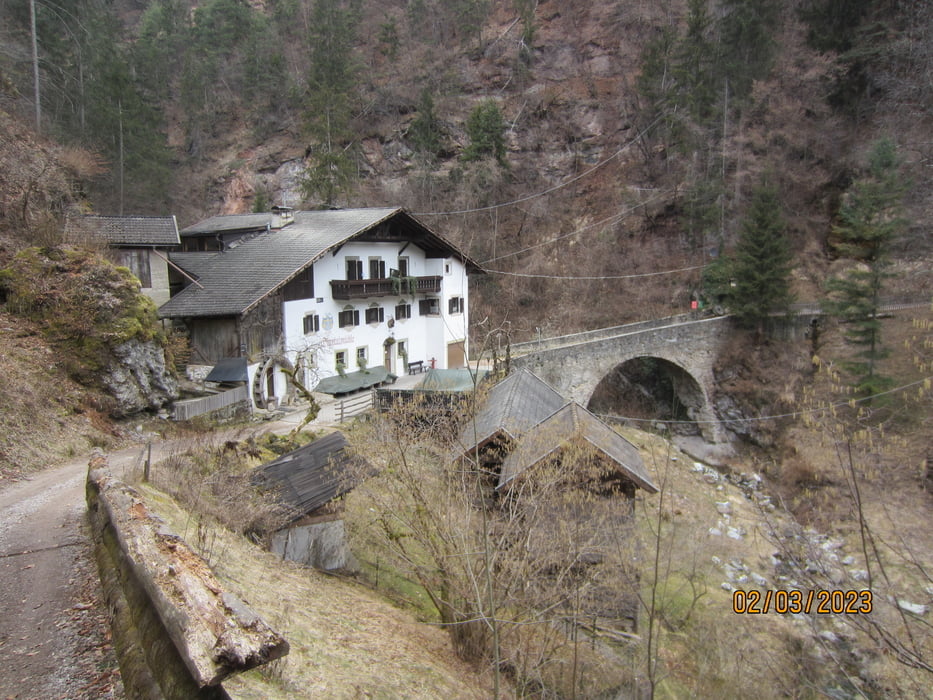
- Einkehrmöglichkeiten: Gasthof "Waldheim" (empfehlenswerte Küche) KM 16,6 - MH 1.038. Gasthof: "Obertalmühle" KM 25,10 - MH 670.
- Ich bin die Tour mit dem E-MTB gefahren.
- Die steilen Abschnitte erfordern eine gute Kondition.
- Abfahrt: keine besondere Herausforderung.
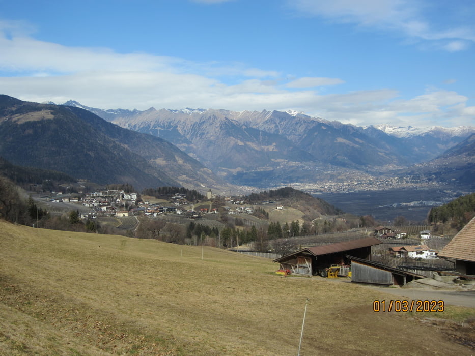
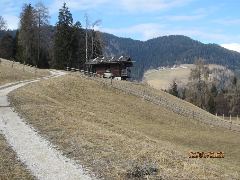
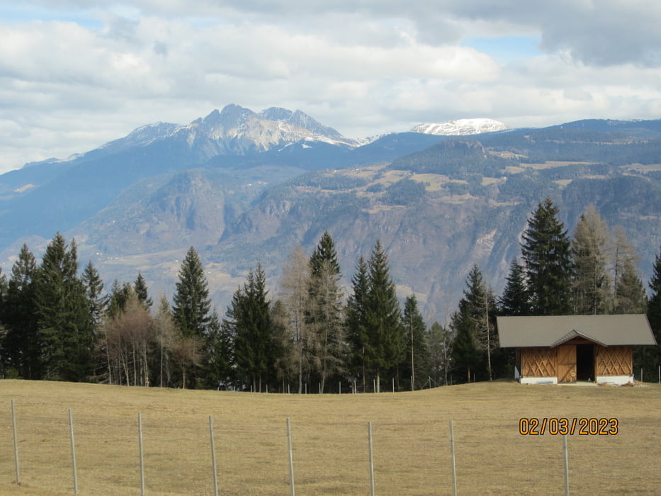
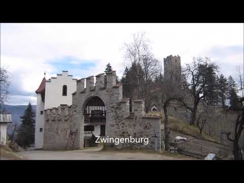
Tour gallery
Tour map and elevation profile
Minimum height 266 m
Maximum height 1277 m
More about the tour author
|
|
MargesinFriedrich |
Comments

GPS tracks
Trackpoints-
GPX / Garmin Map Source (gpx) download
-
TCX / Garmin Training Center® (tcx) download
-
CRS / Garmin Training Center® (crs) download
-
Google Earth (kml) download
-
G7ToWin (g7t) download
-
TTQV (trk) download
-
Overlay (ovl) download
-
Fugawi (txt) download
-
Kompass (DAV) Track (tk) download
-
Track data sheet (pdf) download
-
Original file of the author (gpx) download
More about the tour author
|
|
MargesinFriedrich |
Add to my favorites
Remove from my favorites
Edit tags
Open track
My score
Rate