Login

Forgot your login?

Cookies have to be accepted!
Your browser's cookie functionality is disabled. Please enable this functionality.

Not a member yet?

Register now
Login

Available for registred users only

Log in to use this feature.

Forgot your login?

Cookies have to be accepted!
Your browser's cookie functionality is disabled. Please enable this functionality.

Not a member yet?

Register now
Filter
Categories
Advanced filters
  • Distance (km)
  • Height
Save filters Reset filter

TrackRank

QRCode

Technical data

Distance36,2 km Height1387 m Way down1396 m Duration03:00 h:m Date03.03.2023
Scores Author Landscape Fun factor Fitness Technique

Statistics

193 Views Scores 9 Downloads Average
Rate
  • Track data sheet
  • Directions
  • Downloads
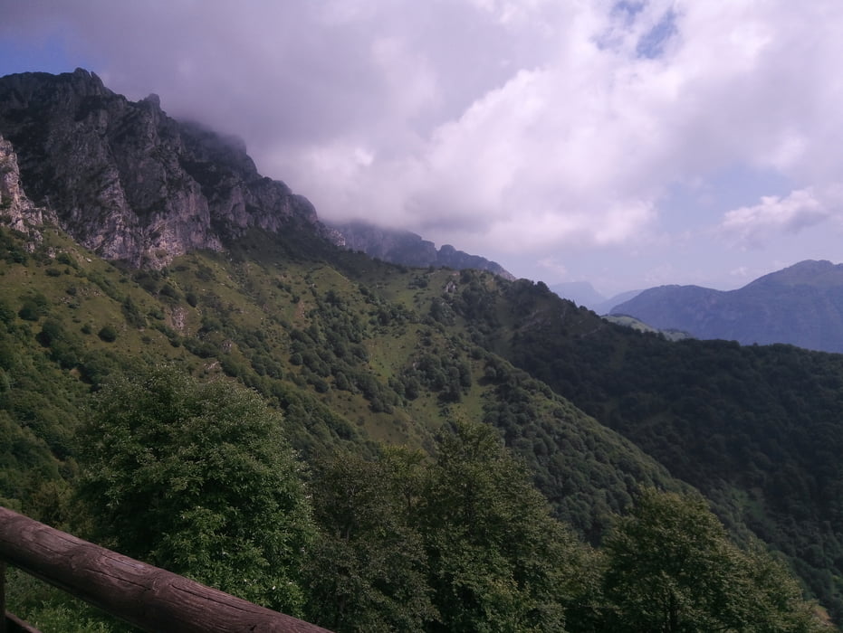
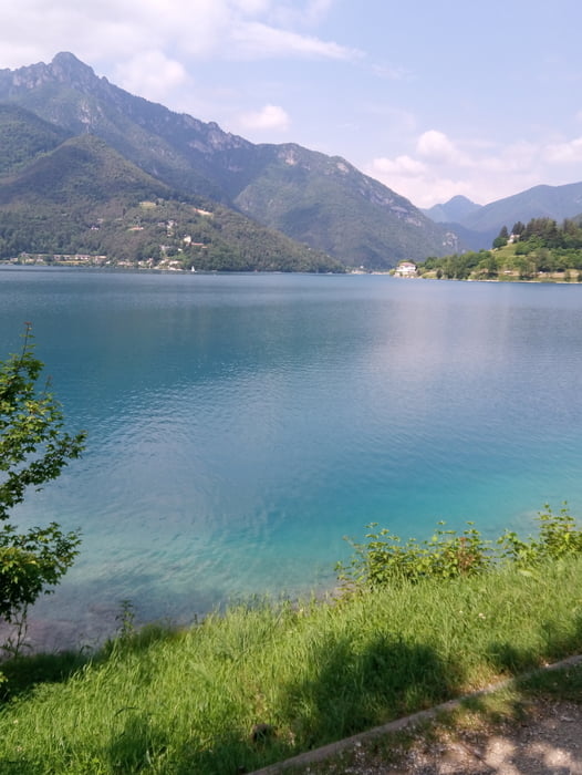
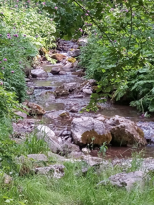
Vom Campingplatz Azzurro erst am See entlang und dann steil hinauf zur Bocca Fortini. Viele steile Betonrampen. Dann auf Schotter weiter hinauf zum Albergo Garda / Tremalzo. Auf Wiesentrail abgekürzt zur Straße und dann den Trail zur Malga Caset und auf spannenden Trail ins Tal S1-S2. Letztes Teilstück geht an der Telegrafenleitung runter. Bocksteil. S3 Zurück zum Campingplatz. 500er Akku hat gereicht.

Tour gallery

Tour map and elevation profile

  • Open Street Map
  • Google
Minimum height 655 m Maximum height 1781 m Detailed view

More about the tour author

Fruehaufsteher
Member since 2008

Send private message

Comments

GPS tracks

Trackpoints
  • GPX / Garmin Map Source (gpx) download
  • TCX / Garmin Training Center® (tcx) download
  • CRS / Garmin Training Center® (crs) download
  • Google Earth (kml) download
  • G7ToWin (g7t) download
  • TTQV (trk) download
  • Overlay (ovl) download
  • Fugawi (txt) download
  • Kompass (DAV) Track (tk) download
  • Track data sheet (pdf) download
  • Original file of the author (gpx) download

More about the tour author

Fruehaufsteher
Member since 2008

Send private message
Share track
Add to my favorites
Remove from my favorites
Edit tags
My score
Rate
Track: E-MTB Bocca Fortini - Passo Nota - Tremalzo - Malga Caset (730)
Type: Mountain bike
Distance: 36,2 km
Evaluated on:
Duration:
Day(s)
Hour(s)
Minute(s)
Score: Landscape Fun factor Fitness Technique