
")

- Rundkurs ab Tisens: gegen den Uhrzeigersinn. Start: im Uhrzeigersinn.
- Start: Lana.
- Ziel: Lana.
- Einradeln auf Nebenstrassen bis zum Golfplatz "Schloss Brandis"
- Auf dem teils steilen, stellenweise grobschottrigen Weg hoch nach Tisens.
- Weiter auf asfaltierten Nebenwegen bis zur Einmündung in den Forstweg Nr. 4/A nach Platzers zum Gasthof "Natz" Küche !!!!!
- Abfahrt auf Schotterweg nach Gfrill zum Gasthof "Waldheim" (typische Südtiroler Gerichte. Produkte vorwiegend von einheimischen Erzeugern).
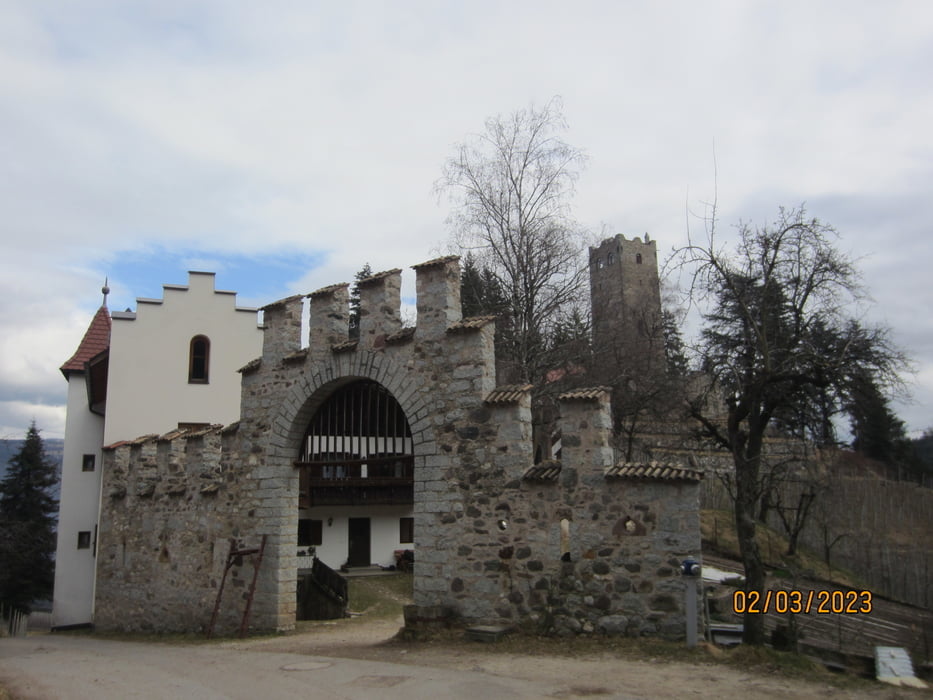
- Abfahrt auf teils steinigem, stellenweise steilem Schotterweg bis zur Zwingenburg oberhalb von Prissian.
- Auf Asfalt bis zum Ortsausgang von Tisens.
- Weiter auf Waldweg/Schotterweg durch das Biotop "Hyppolit Weiher". Weiter am Gasthof "Obertalmühle" vorbei nach Völlan.
- Weiter auf dem Kastanien-Erlebnisweg.
- Abfahrt auf Asfalt, am malerischen Ansitz "Helmsdorf" vorbei, zum Ziel nach Lana.
- Ich bin die Tour mit dem E-MTB gefahren.
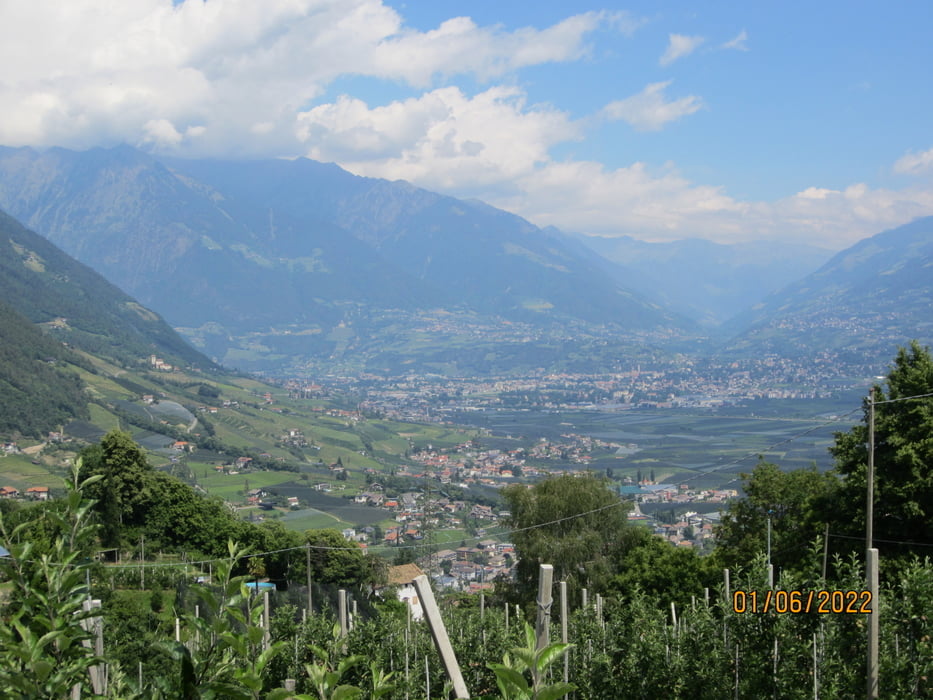
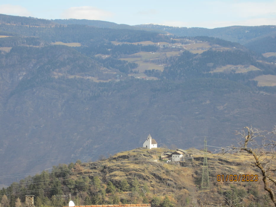
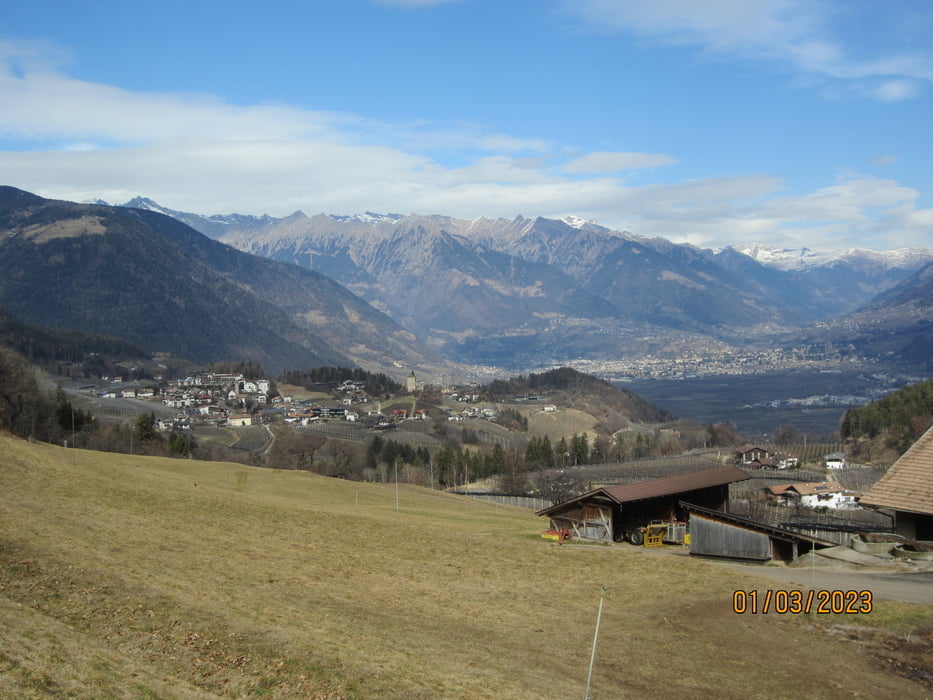
Tour gallery

Tour map and elevation profile
Minimum height 253 m
Maximum height 1388 m
More about the tour author
|
|
MargesinFriedrich |
Comments

GPS tracks
Trackpoints-
GPX / Garmin Map Source (gpx) download
-
TCX / Garmin Training Center® (tcx) download
-
CRS / Garmin Training Center® (crs) download
-
Google Earth (kml) download
-
G7ToWin (g7t) download
-
TTQV (trk) download
-
Overlay (ovl) download
-
Fugawi (txt) download
-
Kompass (DAV) Track (tk) download
-
Track data sheet (pdf) download
-
Original file of the author (gpx) download
More about the tour author
|
|
MargesinFriedrich |
Add to my favorites
Remove from my favorites
Edit tags
Open track
My score
Rate