

- Rundkurs im Uhrzeigersinn
- Start/Ziel: Ceraino/Etschtal (MH 120).
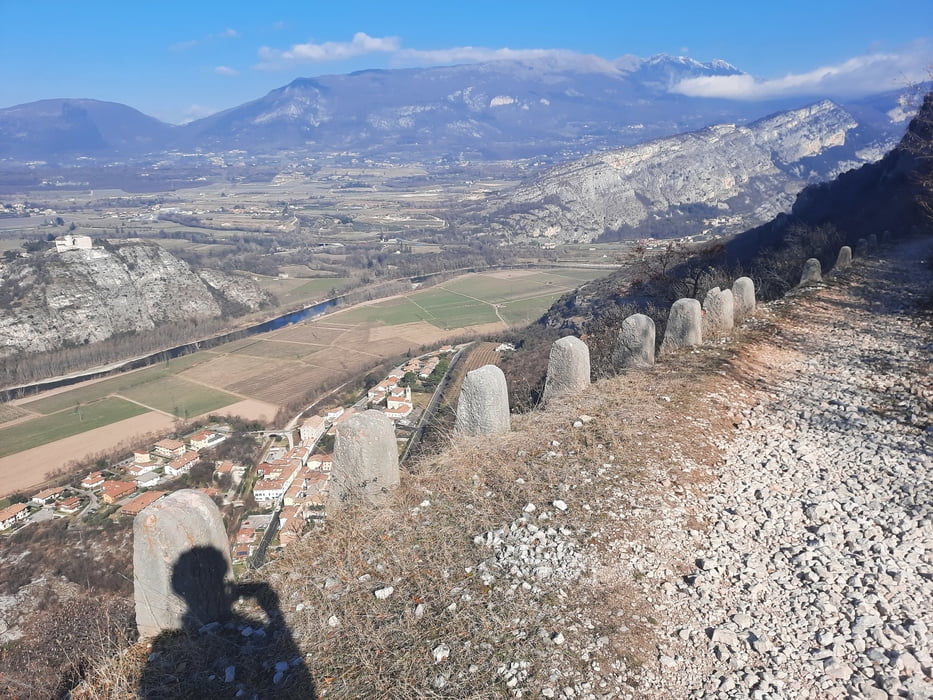
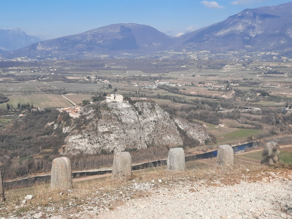
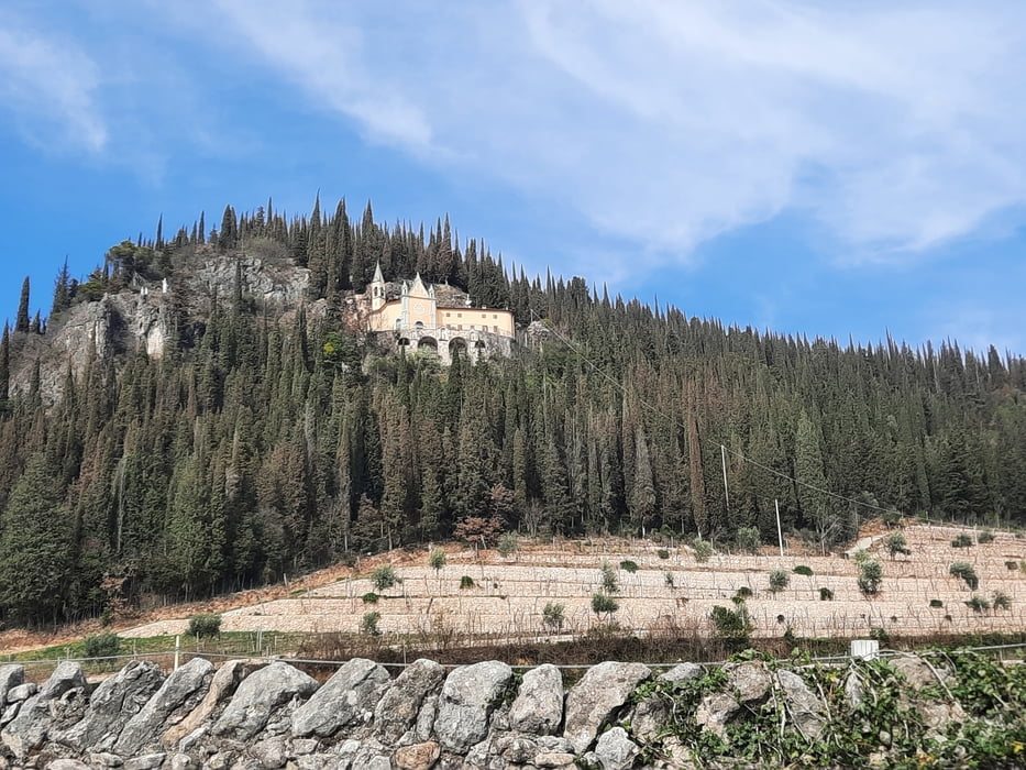
- Bis KM 4,2 - MH 432 auf angenehm ansteigender alter Militärstrasse zur Befestigung "Ceraino". Der Untergrund ist grösstenteils sehr steinig. Die Strasse stellenweise schmal und an einigen Abschnitten etwas ausgesetzt. Auf diesem Teilstück ist eine gute Fahrtechnik und Kondition gefragt.
- Bei KM 15 - MH 604 Einkehr in der Trattoria "Cavalo" (Mittwoch Ruhetag). Spezialität: Wildschwein in Amarone-Weinsosse.
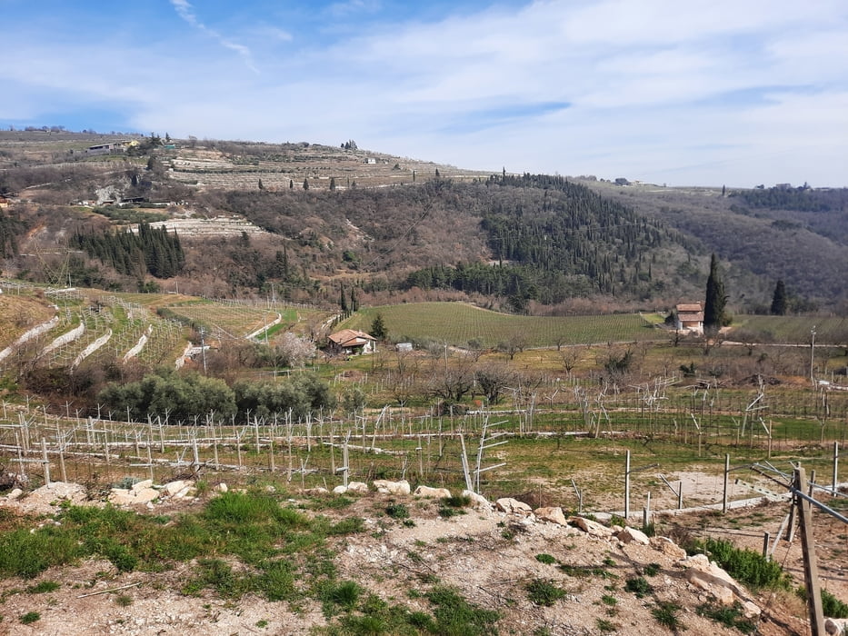
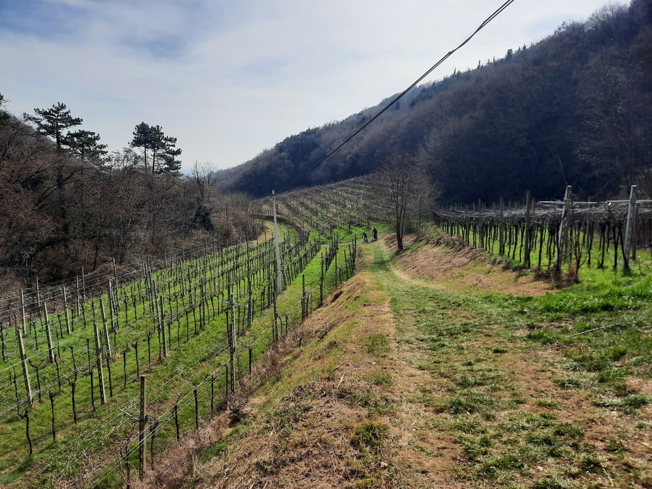
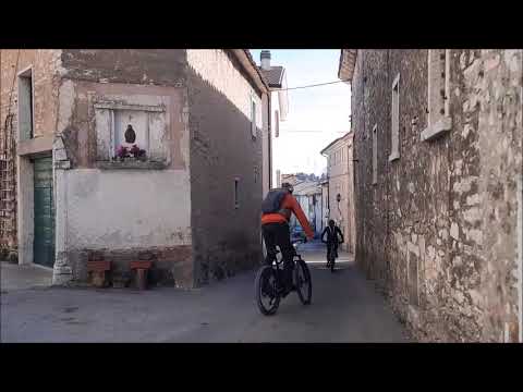
- Den Rest der abwechslungsreichen Tour fahren wir auf Nebenstrassen, Schotterwegen und Feldwegen durch die Weinberge und Olivenhaine des Valpolicella Tals.
- Ca. 20 Meter abwärts schieben.
- Im Tal angekommen Rückfahrt auf dem Radweg der Etsch entlang zurück zum Ausgangspunkt.
- Ich bin die Tour mit dem E-MTB gefahren.
- Herzlichen Dank an Nicola Tretter/Rinco Boys für die GPS-Daten zur Tour. Grazie a Nicola Tretter/Rinco Boys per aver messo a disposizione i dati GPS di questo giro.
Tour gallery
Tour map and elevation profile
Minimum height 90 m
Maximum height 659 m
More about the tour author
|
|
MargesinFriedrich |
Comments

GPS tracks
Trackpoints-
GPX / Garmin Map Source (gpx) download
-
TCX / Garmin Training Center® (tcx) download
-
CRS / Garmin Training Center® (crs) download
-
Google Earth (kml) download
-
G7ToWin (g7t) download
-
TTQV (trk) download
-
Overlay (ovl) download
-
Fugawi (txt) download
-
Kompass (DAV) Track (tk) download
-
Track data sheet (pdf) download
-
Original file of the author (gpx) download
More about the tour author
|
|
MargesinFriedrich |
Add to my favorites
Remove from my favorites
Edit tags
Open track
My score
Rate