Login

Forgot your login?

Cookies have to be accepted!
Your browser's cookie functionality is disabled. Please enable this functionality.

Not a member yet?

Register now
Login

Available for registred users only

Log in to use this feature.

Forgot your login?

Cookies have to be accepted!
Your browser's cookie functionality is disabled. Please enable this functionality.

Not a member yet?

Register now
Filter
Categories
Advanced filters
  • Distance (km)
  • Height
Save filters Reset filter

TrackRank

QRCode

Technical data

Distance24,0 km Height389 m Way down400 m Duration04:00 h:m Date10.03.2023
Scores Author Landscape Fun factor Fitness Technique

Statistics

310 Views Scores 0 Downloads Average
Rate
  • Track data sheet
  • Directions
  • Downloads
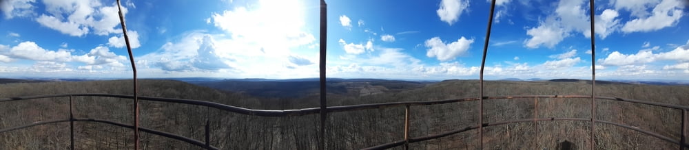
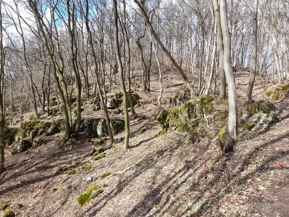
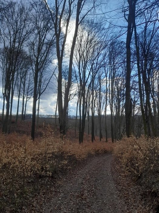
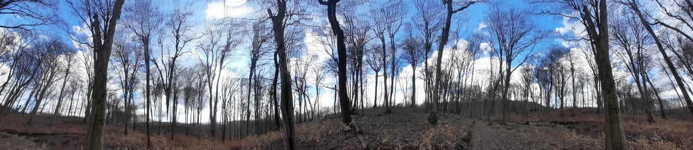
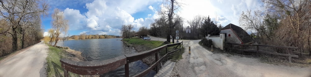
KDP Szár vasúti megállótól Oroszlányig. Jók a jelölések, kivéve ott, ahol el lehet tévedni. :-)  Kis kitérő a Körtvélyes tetején álló geodéziai toronyig, a majki remeteséget viszont idő hiányában nem ejtettem útba.

Tour gallery

Tour map and elevation profile

  • Open Street Map
  • Google
Minimum height 185 m Maximum height 491 m Detailed view

More about the tour author

frontera74
Member since 2011

Send private message

Comments

Vonattal szuperül elérhető mindkét település

GPS tracks

Trackpoints
  • GPX / Garmin Map Source (gpx) download
  • TCX / Garmin Training Center® (tcx) download
  • CRS / Garmin Training Center® (crs) download
  • Google Earth (kml) download
  • G7ToWin (g7t) download
  • TTQV (trk) download
  • Overlay (ovl) download
  • Fugawi (txt) download
  • Kompass (DAV) Track (tk) download
  • Track data sheet (pdf) download
  • Original file of the author (gpx) download

More about the tour author

frontera74
Member since 2011

Send private message
Share track
Add to my favorites
Remove from my favorites
Edit tags
My score
Rate
Track: KDP Szártól Ororoszlányig
Type: Cross-country skiing
Distance: 24,0 km
Evaluated on:
Duration:
Day(s)
Hour(s)
Minute(s)
Score: Landscape Fun factor Fitness Technique