
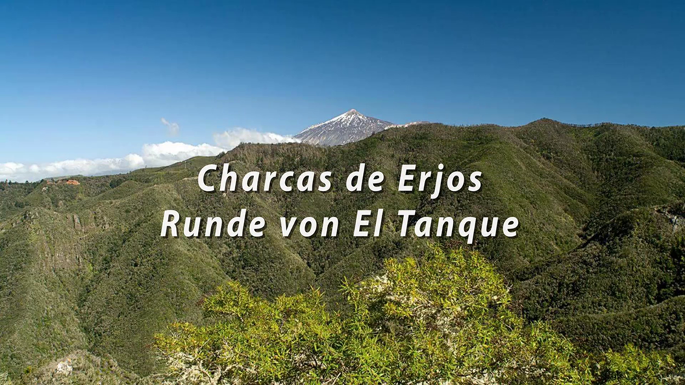

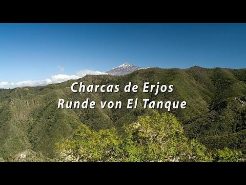
Unsere Erste Wanderung in unserem Urlaub auf Teneriffa werden wir in den Ausläufern des Teno Gebirges durchführen. Hierfür fahren wir der Küstenstraße entlang zum Bergdorf Erjos, da sich auf 1000m befindet. Die Wanderung Charcas de Erjos im Hochland im Nordwesten der Insel, auf halbem Weg zwischen den Gemeinden Los Silos und El Tanque, führt durch die wichtigsten Feuchtgebiete der Insel. Diese einzigartige Landschaft entstand als Ergebnis der Gewinnung fruchtbaren Bodens in Küstengebieten. Auf dem Höchsten Punkt gehen es zunächst durch einen Mischwald zurück, der allmählich eine einen schönen Lorbeerwald übergeht. Nach 4,0 Std erreichen wir unseren Ausgangspunkt, das Dorf Erjos.
Tour gallery
Tour map and elevation profile
Minimum height 99999 m
Maximum height -99999 m
More about the tour author
|
|
schleidy |
Comments

GPS tracks
Trackpoints-
GPX / Garmin Map Source (gpx) download
-
TCX / Garmin Training Center® (tcx) download
-
CRS / Garmin Training Center® (crs) download
-
Google Earth (kml) download
-
G7ToWin (g7t) download
-
TTQV (trk) download
-
Overlay (ovl) download
-
Fugawi (txt) download
-
Kompass (DAV) Track (tk) download
-
Track data sheet (pdf) download
-
Original file of the author (gpx) download
More about the tour author
|
|
schleidy |
Add to my favorites
Remove from my favorites
Edit tags
Open track
My score
Rate