Login

Forgot your login?

Cookies have to be accepted!
Your browser's cookie functionality is disabled. Please enable this functionality.

Not a member yet?

Register now
Login

Available for registred users only

Log in to use this feature.

Forgot your login?

Cookies have to be accepted!
Your browser's cookie functionality is disabled. Please enable this functionality.

Not a member yet?

Register now
Filter
Categories
Advanced filters
  • Distance (km)
  • Height
Save filters Reset filter

TrackRank

QRCode

Technical data

Distance34,3 km Height1035 m Way down1037 m Duration04:00 h:m Date19.04.2023
Scores Author Landscape Fun factor Fitness Technique

Statistics

65 Views Scores 2 Downloads Average
Rate
  • Track data sheet
  • Directions
  • Downloads
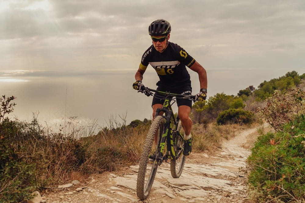
Un percorso tracciato da Mirko Celestino, con caratteristiche tecniche di un vero e proprio percorso da gara mtb.

Tour map and elevation profile

  • Open Street Map
  • Google
Minimum height 3 m Maximum height 537 m Detailed view

More about the tour author

Dolomeet
Member since 2018

Send private message

Comments

GPS tracks

Trackpoints
  • GPX / Garmin Map Source (gpx) download
  • TCX / Garmin Training Center® (tcx) download
  • CRS / Garmin Training Center® (crs) download
  • Google Earth (kml) download
  • G7ToWin (g7t) download
  • TTQV (trk) download
  • Overlay (ovl) download
  • Fugawi (txt) download
  • Kompass (DAV) Track (tk) download
  • Track data sheet (pdf) download
  • Original file of the author (gpx) download

More about the tour author

Dolomeet
Member since 2018

Send private message
Share track
Add to my favorites
Remove from my favorites
Edit tags
My score
Rate
Track: Race track Mirko Celestino
Type: Mountain bike
Distance: 34,3 km
Evaluated on:
Duration:
Day(s)
Hour(s)
Minute(s)
Score: Landscape Fun factor Fitness Technique