
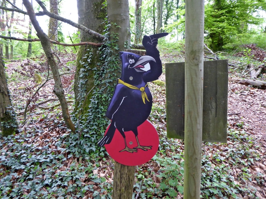

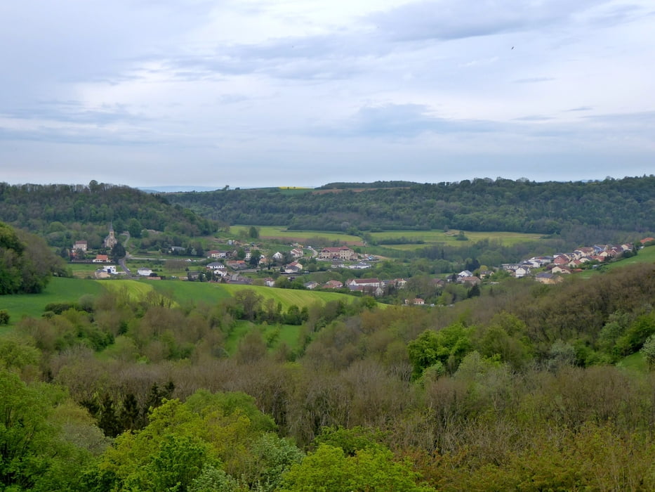
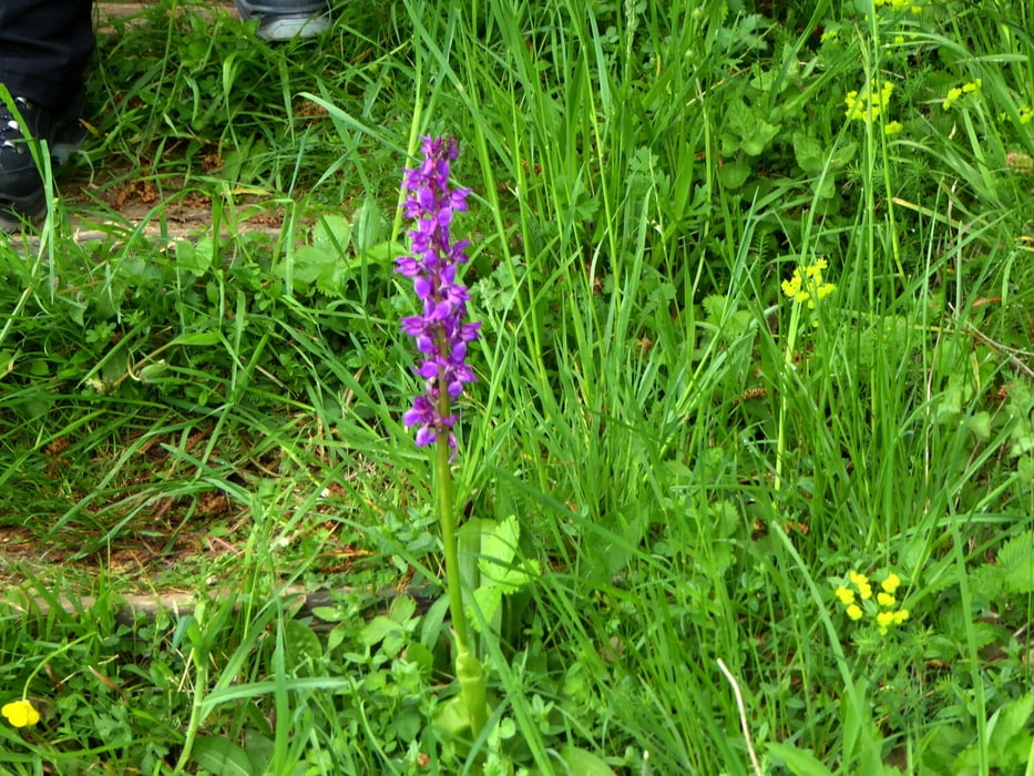
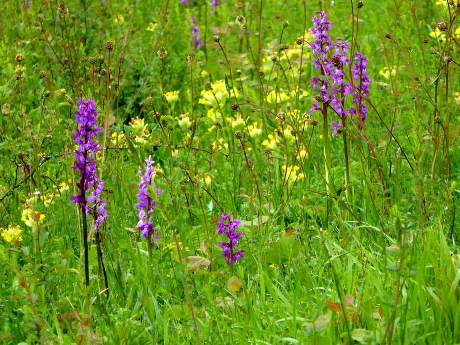
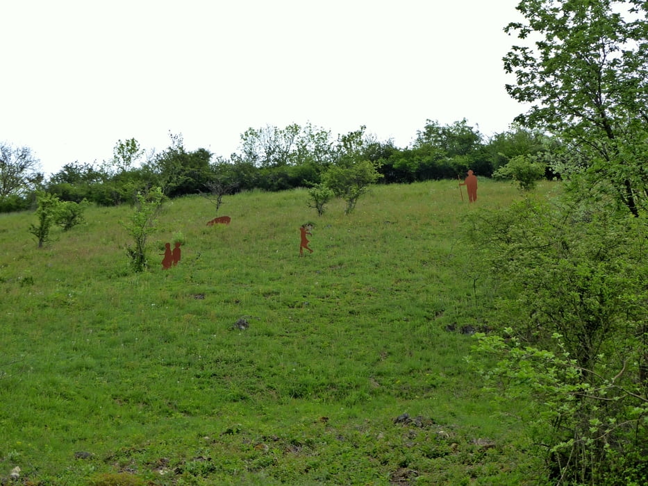
Ein schöner Entdeckungspfad, sehr klein (107 Hektar), bietet es zunächst einen kleinen Wald, dann zeigt es fabelhafte Landschaften: sonnige Kalksteinrasen, frische Täler und Felsvorsprünge, unterbrochen von Tausenden von Blumen durch das Herz prächtiger Landschaften schlängelt und Sie in 3Std (geht auch schneller) zu Ihrem Ausgangspunkt zurückbringt.
Empfehlen kann ich dann das Lokal Restaurant ‘Au Val Sierckois‘ in Montenach. Bitte vorher anmelden.
Further information at
https://www.maisondelanature.eu/d%C3%A9couvrir-le-site/sp%C3%A9cificit%C3%A9-de-la-R%C3%A9serve-Naturelle-de-Montenach.htmlTour gallery
Tour map and elevation profile
Minimum height 183 m
Maximum height 284 m
More about the tour author
|
|
Biker-Tommy |
Comments

GPS tracks
Trackpoints-
GPX / Garmin Map Source (gpx) download
-
TCX / Garmin Training Center® (tcx) download
-
CRS / Garmin Training Center® (crs) download
-
Google Earth (kml) download
-
G7ToWin (g7t) download
-
TTQV (trk) download
-
Overlay (ovl) download
-
Fugawi (txt) download
-
Kompass (DAV) Track (tk) download
-
Track data sheet (pdf) download
-
Original file of the author (gpx) download
More about the tour author
|
|
Biker-Tommy |
Add to my favorites
Remove from my favorites
Edit tags
Open track
My score
Rate