


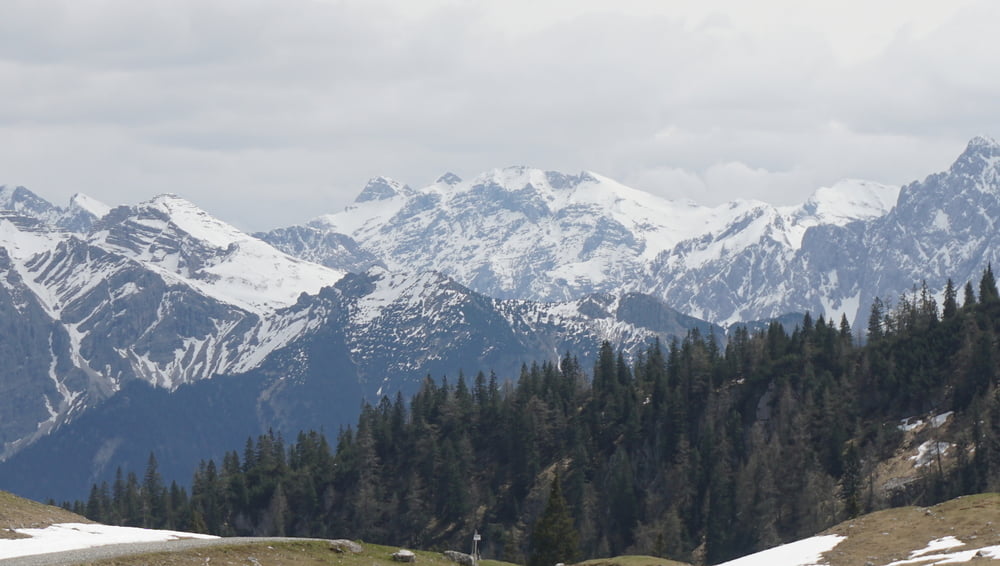
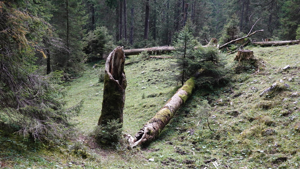
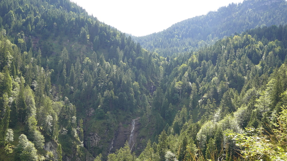
Wunderschöne Tour von Wallgau über das Eschen-Laine-Tal auf die Kuhalm vor der Hohen Kiste. Kleine Besonderheit ist der Querverbinder zwischen Eschen-Laine-Tal und der Auffahrt zur Kuhalm mit kurzer Schiebestrecke, wer aber mag kann noch nach Eschenlohe fahren, um mehr Höhenmeter zu machen. Die Rampe zur Kuhalm hat viele 15%-Passagen, die aber gut fahrbar sind. Der Rückweg nach Wallgau führt über eine Schiebestrecke durch den Wald. Dann folgt ein steiniger und wurzeliger Trail bis zu den Forstwegen, die dann zum Ausgangspunkt nach Wallgau führen.
Einschränkungen
This tour has a carry or push section on 1.5 kilometers
Tour gallery

Tour map and elevation profile
Minimum height 786 m
Maximum height 1633 m
More about the tour author
|
|
schmidt-nehls |
Comments

Anfahrt ins Zentrum nach Wallgau aus von Norden über den Walchensee, von Westen über Garmisch und Krün, von Süden über Mittenwald und Krün, von Osten über Sylvensteinspeichersee und Mautstraße.
Einschränkungen
This tour has a carry or push section on 1.5 kilometers
GPS tracks
Trackpoints-
GPX / Garmin Map Source (gpx) download
-
TCX / Garmin Training Center® (tcx) download
-
CRS / Garmin Training Center® (crs) download
-
Google Earth (kml) download
-
G7ToWin (g7t) download
-
TTQV (trk) download
-
Overlay (ovl) download
-
Fugawi (txt) download
-
Kompass (DAV) Track (tk) download
-
Track data sheet (pdf) download
-
Original file of the author (gpx) download
More about the tour author
|
|
schmidt-nehls |
Add to my favorites
Remove from my favorites
Edit tags
Open track
My score
Rate