


Diese Tour ist analog zu meiner Debüt-Tour am Falkenstein vom 31.05.2015. Bitte schau Dir auch diese Tour an, da hier mehr Infos und eine ausführlichere Beschreibung vorhanden sind.
Beide Touren sind nahezu identisch mit nur einem Unterschied das die Tour in 2015 die Fahrt nach Füssen beinhaltet. Dieser Teil fehlt hier also, die Tour ist somit um ca. 10km und 200hm kürzer.
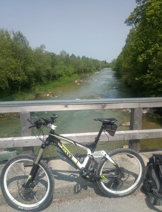
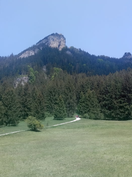
(Die Qualität der Fotos läßt leider zu wünschen übrig, das Smartphone kann das nicht so gut wie die Spiegelreflexkamera...)
Further information at
https://www.vollrath-photography.de/Tour gallery


Tour map and elevation profile
Minimum height 788 m
Maximum height 1248 m
More about the tour author
|
|
Pointer |
Comments

Wir starten in Augsburg/Lechhausen und fahren auf die B17 in Richtung Füssen. In Füßen biegen wir links in Richtung A7 ab und folgen der Bundesstrasse bis zur Ortschaft Weissensee am schönen Weissensee. Hier parken wir und starten unsere Tour.
Da die Tour ein Rundkurs ist, kann praktisch an beliebiger Stelle geparkt werden - der Ausgangspunkt ist auch der Endpunkt.
GPS tracks
Trackpoints-
GPX / Garmin Map Source (gpx) download
-
TCX / Garmin Training Center® (tcx) download
-
CRS / Garmin Training Center® (crs) download
-
Google Earth (kml) download
-
G7ToWin (g7t) download
-
TTQV (trk) download
-
Overlay (ovl) download
-
Fugawi (txt) download
-
Kompass (DAV) Track (tk) download
-
Track data sheet (pdf) download
-
Original file of the author (gpx) download
More about the tour author
|
|
Pointer |
Add to my favorites
Remove from my favorites
Edit tags
Open track
My score
Rate