


Tourencharakter der Strecke:
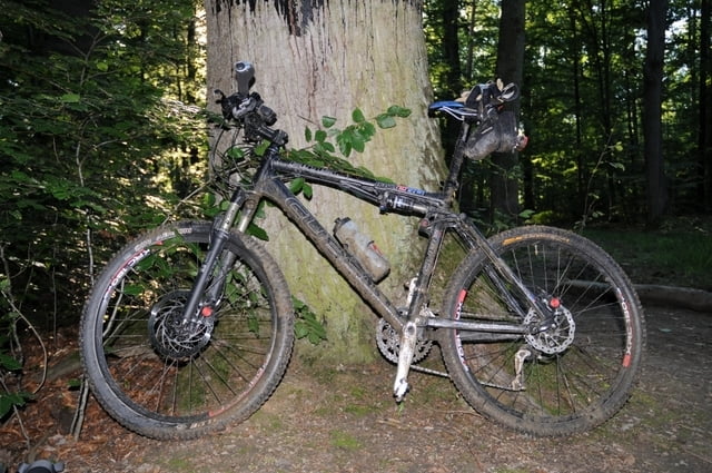
- nur Mountainbike tauglich, nicht für Rennrad-, Touren- und Trekkingbike
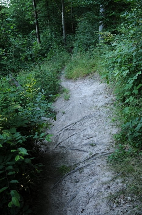
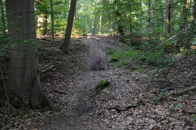
- vielzahl von Single Trails
- max. 3/4 Speed Abfahrten (~50-60km/h)
- bei feuchtem Wetter stellweise sehr schlammig mit wenig Ausweichmöglichkeiten
- Versorgungsmöglichkeiten (Getränke+Essen) beim Katzenbacher Hof und am Bärenschlössle
Tour gallery

Tour map and elevation profile
Minimum height 359 m
Maximum height 551 m
More about the tour author
|
|
scotthunter |
Comments
Gute Parkplatzmöglichkeiten am Kräherwald Sportplatz als Ausgangspunkt
GPS tracks
Trackpoints-
GPX / Garmin Map Source (gpx) download
-
TCX / Garmin Training Center® (tcx) download
-
CRS / Garmin Training Center® (crs) download
-
Google Earth (kml) download
-
G7ToWin (g7t) download
-
TTQV (trk) download
-
Overlay (ovl) download
-
Fugawi (txt) download
-
Kompass (DAV) Track (tk) download
-
Track data sheet (pdf) download
-
Original file of the author (gpx) download
More about the tour author
|
|
scotthunter |
Add to my favorites
Remove from my favorites
Edit tags
Open track
My score
Rate
5*
sehr schöne Tour zwischen Sindelfingen und Stuttgart mit vielen tollen Trails dieser Gegend. Danke!
Gruß,
Moritz
PS: Ich bin sie übrigens von Sindelfingen aus gefahren.
Toller Ride!
Sonst aber wirklich eine fahrenswerte Tour!
Bin sie am 5.8.09 gefahren...die Streckenverhältnisse sind super gerade!!!