


Los geht's in Hamburg Lemsahl mit dem Bikepacking Abenteuer. Ziel ist der Ratzeburger See
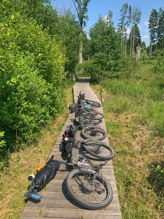
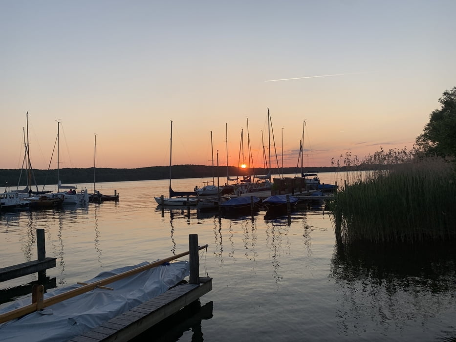
Lemsahl - Saselbek Trail - Mellenberg - Höltigbaum - Braak - Papendorf - Rausdorf - Trittau - Hahnheider Forst - Hahnheider Turm - Köthel - Alt Mölln - Mölln - Cafe Ziegenbein - Elbe-Lübeck-Kanal - Güster - Talhänge Göttin - Hellbachtal - Drüsensee - Frachauer Mühlencafe - Küchensee Trail - Ratzeburg - Campingplatz Schwalkenberg ca 91 km / Übernachtung
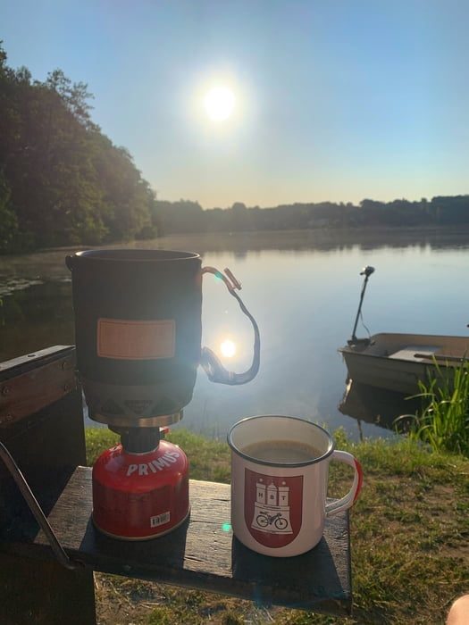
am nächsten Morgen geht's weiter:
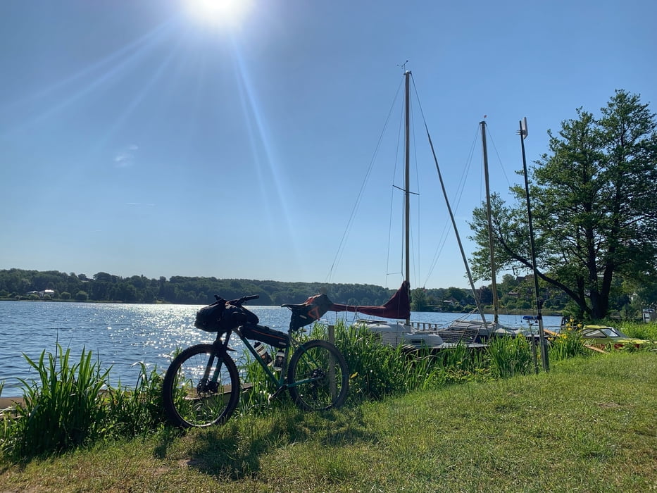
Ratzeburger See Trail - Campow MV - Utecht - Wakenitz Brücke - Ratzeburger See Weg - Urwald - Elbe Lübeck Kanal - Krummesse - Heidesee Trail - Klein Weseberg - Trave Downhill - Travewanderweg - Bad Oldesloe - Cafe Kuchenwerk - Railwaytrail - Bahndamm Radweg - Sülfeld - Waldesruh Wilhelm - Wulksfelde - Duvenstedt - Lemsahl ca 81 km
Further information at
https://www.campingplatz-schwalkenberg.de/Tour gallery
Tour map and elevation profile
Minimum height -36 m
Maximum height 102 m
More about the tour author
|
|
hegi |
Comments

Hamburger Norden! Parken kann man in Lemsahl in den Wohnstraßen
GPS tracks
Trackpoints-
GPX / Garmin Map Source (gpx) download
-
TCX / Garmin Training Center® (tcx) download
-
CRS / Garmin Training Center® (crs) download
-
Google Earth (kml) download
-
G7ToWin (g7t) download
-
TTQV (trk) download
-
Overlay (ovl) download
-
Fugawi (txt) download
-
Kompass (DAV) Track (tk) download
-
Track data sheet (pdf) download
-
Original file of the author (gpx) download
More about the tour author
|
|
hegi |
Add to my favorites
Remove from my favorites
Edit tags
Open track
My score
Rate