


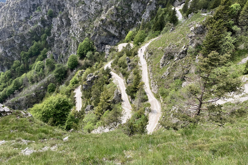
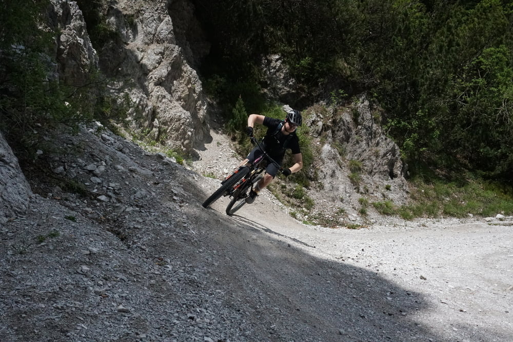
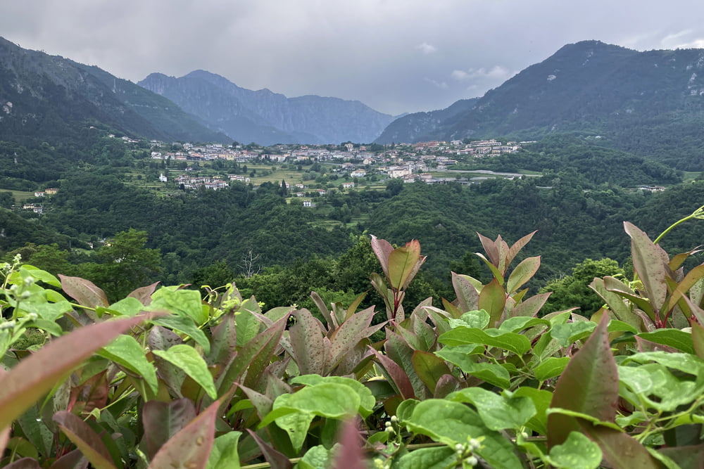
Vesio-Val Larga-San Michele-Cima de Camerone-Bocca di Lorina-Malga Spiazzo-Slap Pisù-Malga Cà dell'Era-Malga Ciapa-Passo Tremalzo-Bocca di Val Marza-Tunel Corno della Marogna-Passo Gatom-Passo Prà della Rosa-Rifugio degli Alpini-Passo Nota-Sentiero 106 (stara vojaška cesta)-Valcerese-Vesio
Further information at
https://mtb-itd.si/poti/tremalzoTour gallery

Tour map and elevation profile
Minimum height 561 m
Maximum height 1794 m
More about the tour author
|
|
andrejno |
Comments

Vesio-Val Larga-San Michele-Cima de Camerone-Bocca di Lorina-Malga Spiazzo-Slap Pisù-Malga Cà dell'Era-Malga Ciapa-Passo Tremalzo-Bocca di Val Marza-Tunel Corno della Marogna-Passo Gatom-Passo Prà della Rosa-Rifugio degli Alpini” Passo Nota-Sentiero 106 (stara vojaška cesta)-Valcerese-Vesio
GPS tracks
Trackpoints-
GPX / Garmin Map Source (gpx) download
-
TCX / Garmin Training Center® (tcx) download
-
CRS / Garmin Training Center® (crs) download
-
Google Earth (kml) download
-
G7ToWin (g7t) download
-
TTQV (trk) download
-
Overlay (ovl) download
-
Fugawi (txt) download
-
Kompass (DAV) Track (tk) download
-
Track data sheet (pdf) download
-
Original file of the author (gpx) download
More about the tour author
|
|
andrejno |
Add to my favorites
Remove from my favorites
Edit tags
Open track
My score
Rate