


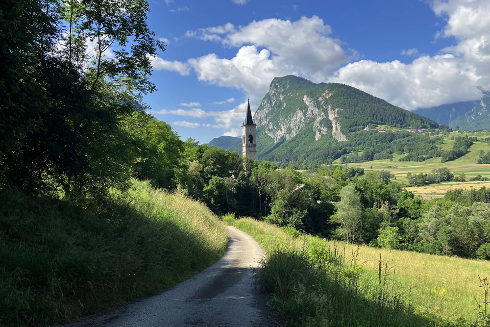
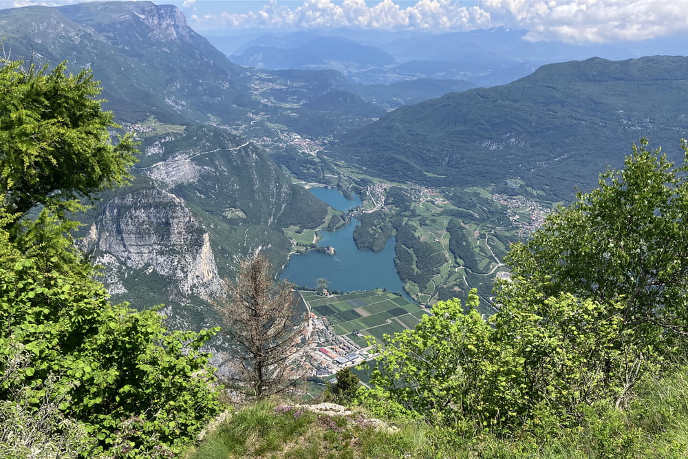
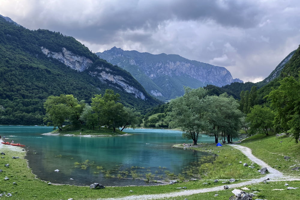
Lago di Tenno-Ville del Monte-Canale-Calvola-Calino-Vigo Lomaso-Godenzo-Comano-Strada Panoramica (Strada Panoramica je v zadnjem delu do točke Le Quadre izredno strma in utrjena z betonom)-Le Quadre-Monte Casale-Rifugio don Zio Pisoni-Le Quadre-Duson-Malga Val Bona-Malga di Vigo-Ranciom-Lanzola (ta del spusta poteka po precej gruščastem in kamnitem kolovozu, Sentiero 480, na Trailforks označeno z zeleno)-Tenno-Ville del Monte-Lago di Tenno
Further information at
https://mtb-itd.si/poti/monte_casaleTour gallery

Tour map and elevation profile
Minimum height 446 m
Maximum height 1597 m
More about the tour author
|
|
andrejno |
Comments

Lago di Tenno-Ville del Monte-Canale-Calvola-Calino-Vigo Lomaso-Godenzo-Comano-Strada Panoramica (Strada Panoramica je v zadnjem delu do točke Le Quadre izredno strma in utrjena z betonom)-Le Quadre-Monte Casale-Rifugio don Zio Pisoni-Le Quadre-Duson-Malga Val Bona-Malga di Vigo-Ranciom-Lanzola (ta del spusta poteka po precej gruščastem in kamnitem kolovozu, Sentiero 480, na Trailforks označeno z zeleno)-Tenno-Ville del Monte-Lago di Tenno
GPS tracks
Trackpoints-
GPX / Garmin Map Source (gpx) download
-
TCX / Garmin Training Center® (tcx) download
-
CRS / Garmin Training Center® (crs) download
-
Google Earth (kml) download
-
G7ToWin (g7t) download
-
TTQV (trk) download
-
Overlay (ovl) download
-
Fugawi (txt) download
-
Kompass (DAV) Track (tk) download
-
Track data sheet (pdf) download
-
Original file of the author (gpx) download
More about the tour author
|
|
andrejno |
Add to my favorites
Remove from my favorites
Edit tags
Open track
My score
Rate