Login

Forgot your login?

Cookies have to be accepted!
Your browser's cookie functionality is disabled. Please enable this functionality.

Not a member yet?

Register now
Login

Available for registred users only

Log in to use this feature.

Forgot your login?

Cookies have to be accepted!
Your browser's cookie functionality is disabled. Please enable this functionality.

Not a member yet?

Register now
Filter
Categories
Advanced filters
  • Distance (km)
  • Height
Save filters Reset filter

TrackRank

QRCode

Technical data

Distance12,4 km Height1334 m Way down1333 m Duration05:30 h:m Date02.07.2023
Scores Author Landscape Fun factor Fitness Technique

Statistics

191 Views Scores 2 Downloads Average
Rate
  • Track data sheet
  • Directions
  • Downloads

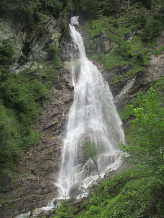
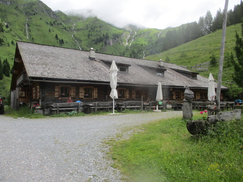
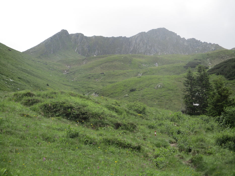
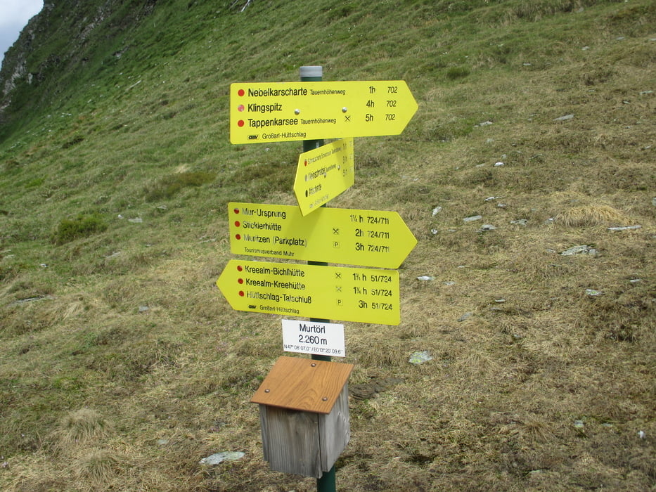
Vom Hüttschlager Talschluss geht es in Richtung Wasserfall und den Kreealmen. An der Bichlalm vorbei hinauf zum Murtörl. Hier rechts weiter und kurz darauf weglos hinauf zum Gipfelkreuz.

Abstieg wie Anstieg.

Tour gallery

Tour map and elevation profile

  • Open Street Map
  • Google
Minimum height 1090 m Maximum height 2431 m Detailed view

More about the tour author

JoHangler
Member since 2013

Send private message

Comments

Von St. Johann nach Großarl und zurück bis zum Talschluss.

GPS tracks

Trackpoints
  • GPX / Garmin Map Source (gpx) download
  • TCX / Garmin Training Center® (tcx) download
  • CRS / Garmin Training Center® (crs) download
  • Google Earth (kml) download
  • G7ToWin (g7t) download
  • TTQV (trk) download
  • Overlay (ovl) download
  • Fugawi (txt) download
  • Kompass (DAV) Track (tk) download
  • Track data sheet (pdf) download
  • Original file of the author (gpx) download

More about the tour author

JoHangler
Member since 2013

Send private message
Share track
Add to my favorites
Remove from my favorites
Edit tags
My score
Rate
Track: Mureck, 2.402 m
Type: Mountain hiking
Distance: 12,4 km
Evaluated on:
Duration:
Day(s)
Hour(s)
Minute(s)
Score: Landscape Fun factor Fitness Technique