


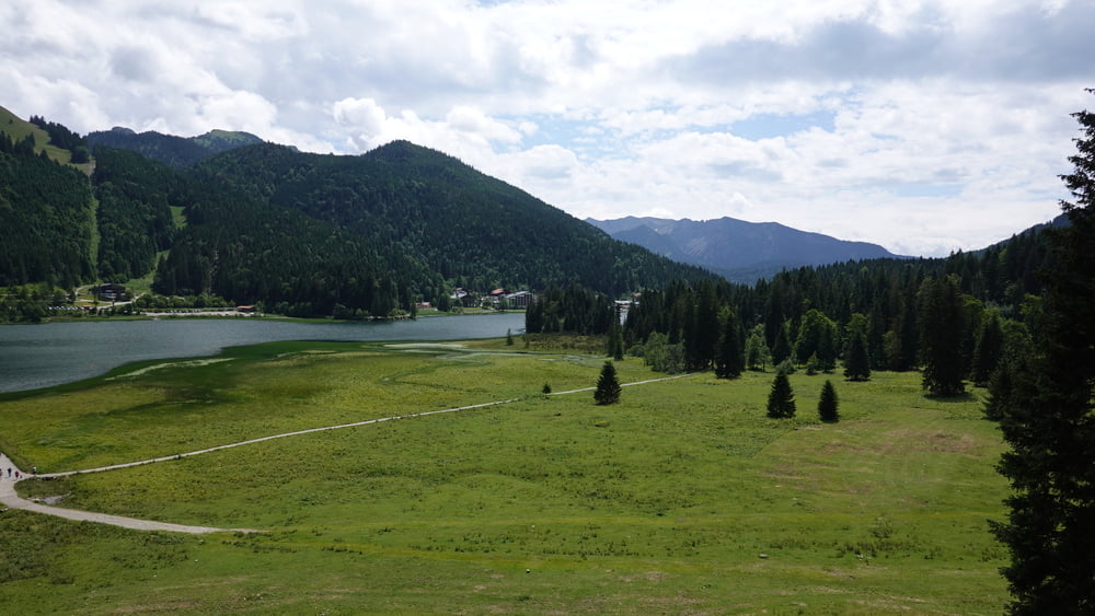
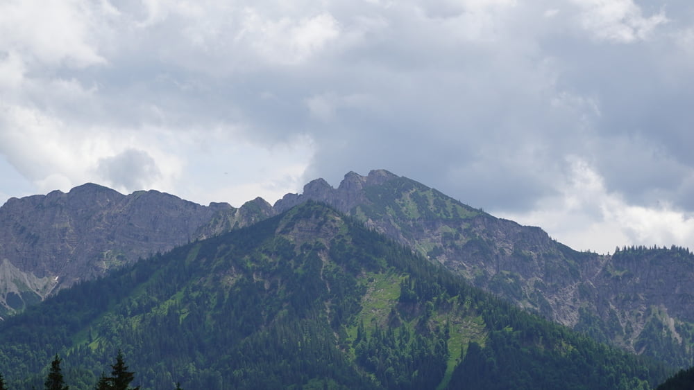
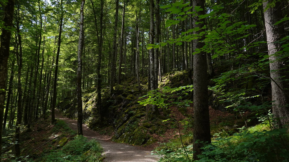
MTB-Tour im vielbefahrenen Gebiet ab Tegernsee mit zwei kleinen Schmankerln. Für Trainingszwecke ideal ist eine größtenteils über 20% steile 2 km- Passage zur Galaunalm, dann folgt der normale Weg zum Spitzingsattel. Im weiteren landschaftlich schöner, sowie artgerecht für Mountainbiker, ist der Abzweig von der Asphaltstraße Valepp- Monialm zur Suttenalm. Wegen der anfangs hohen Anforderungen an die Kraftausdauer vier *. Meinen Schlenker zum Forsthaus Valepp kann man auch ignorieren.
Tour gallery
Tour map and elevation profile
Minimum height 671 m
Maximum height 1134 m
More about the tour author
|
|
schmidt-nehls |
Comments

GPS tracks
Trackpoints-
GPX / Garmin Map Source (gpx) download
-
TCX / Garmin Training Center® (tcx) download
-
CRS / Garmin Training Center® (crs) download
-
Google Earth (kml) download
-
G7ToWin (g7t) download
-
TTQV (trk) download
-
Overlay (ovl) download
-
Fugawi (txt) download
-
Kompass (DAV) Track (tk) download
-
Track data sheet (pdf) download
-
Original file of the author (gpx) download
More about the tour author
|
|
schmidt-nehls |
Add to my favorites
Remove from my favorites
Edit tags
Open track
My score
Rate