Login

Forgot your login?

Cookies have to be accepted!
Your browser's cookie functionality is disabled. Please enable this functionality.

Not a member yet?

Register now
Login

Available for registred users only

Log in to use this feature.

Forgot your login?

Cookies have to be accepted!
Your browser's cookie functionality is disabled. Please enable this functionality.

Not a member yet?

Register now
Filter
Categories
Advanced filters
  • Distance (km)
  • Height
Save filters Reset filter

TrackRank

QRCode

Technical data

Distance6,4 km Height85 m Way down93 m Duration01:30 h:m Date10.07.2023
Scores Author Landscape Fun factor Fitness Technique

Statistics

128 Views Scores 0 Downloads Average
Rate
  • Track data sheet
  • Directions
  • Downloads

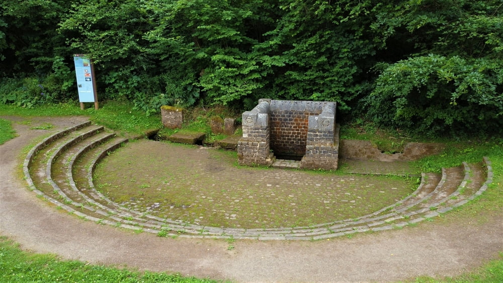
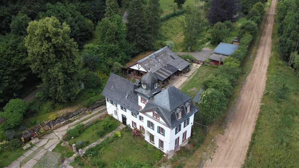
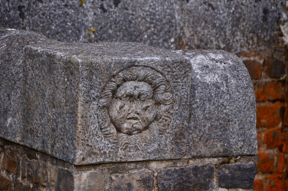
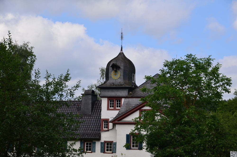
Een kleine wandeling langs het Römerkanal, Burg Dalbenden en langs de rivier Urft. In het centrum is er een biergarten voor de dorstigen.

Tour gallery

Tour map and elevation profile

  • Open Street Map
  • Google
Minimum height 397 m Maximum height 445 m Detailed view

More about the tour author

ikkel
Member since 2009

Send private message

Comments

GPS tracks

Trackpoints
  • GPX / Garmin Map Source (gpx) download
  • TCX / Garmin Training Center® (tcx) download
  • CRS / Garmin Training Center® (crs) download
  • Google Earth (kml) download
  • G7ToWin (g7t) download
  • TTQV (trk) download
  • Overlay (ovl) download
  • Fugawi (txt) download
  • Kompass (DAV) Track (tk) download
  • Track data sheet (pdf) download
  • Original file of the author (gpx) download

More about the tour author

ikkel
Member since 2009

Send private message
Share track
Add to my favorites
Remove from my favorites
Edit tags
My score
Rate
Track: Langs het Römerkanal
Type: Hiking
Distance: 6,4 km
Evaluated on:
Duration:
Day(s)
Hour(s)
Minute(s)
Score: Landscape Fun factor Fitness Technique