


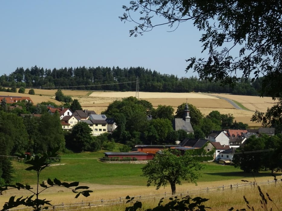
Vom Parkplatz "Glaswald" an der B8 laufe ich in Richtung Oberrod. Schon gleich am Anfang ist der Weg am Feldrand zugewachsen und ich folge dem Radweg bis zur GPS Strecke.Der weitere Verlauf der Strecke führt fast nur über Wiesen- und Feldwege. Unterwegs lernt man von der ehemaligen Richtstätte "Galgenstatt", historischer Holzmeiler, Hügelgräber am "Lauskippel" und vieles mehr.
Further information at
https://sonntagswandern.de/oberrod-niederrod-idstein-buchfinkenland-rundweg-9-juli-2023/Tour gallery
Tour map and elevation profile
Minimum height 345 m
Maximum height 446 m
More about the tour author

|
Sonntagswanderin |
Comments

über die B8 zum Parkplatz "Glaswald" bei Oberrod
GPS tracks
Trackpoints-
GPX / Garmin Map Source (gpx) download
-
TCX / Garmin Training Center® (tcx) download
-
CRS / Garmin Training Center® (crs) download
-
Google Earth (kml) download
-
G7ToWin (g7t) download
-
TTQV (trk) download
-
Overlay (ovl) download
-
Fugawi (txt) download
-
Kompass (DAV) Track (tk) download
-
Track data sheet (pdf) download
-
Original file of the author (gpx) download
More about the tour author
|
|
Sonntagswanderin |
Add to my favorites
Remove from my favorites
Edit tags
Open track
My score
Rate