

- Start/Ziel: Passo San Lugano-Martin`s Bistro MH 966. (Haben dort gefrühstückt und um Parkerlaubnis gefragt. Wurde uns gerne genehmigt!!!!!!!!!!!!)
- Rundkurs im Uhrzeigersinn.
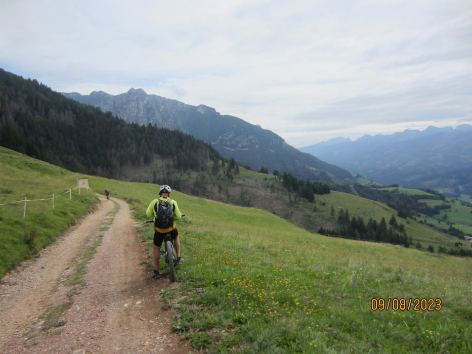
- Kurzes einradeln auf der alten Bahntrasse bis zum Passo San Lugano. Weiter auf Asfalt/Schotter bis KM 4 - MH 1.334. Abschnitte 15-20% Steigung.
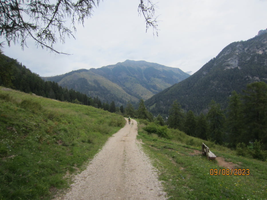
- Flowige Abfahrt auf Forstweg/Schotter bis KM 9,2 - MH 1.177.
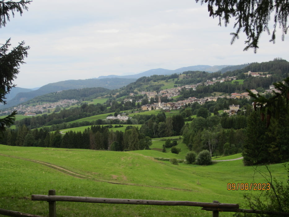
- KM 10,2 Idyllischer Gasthof/Localita`Laghi.
- Weiter auf Asfalt/Schotter bis nach Stava KM 19,5 - MH 1.243.
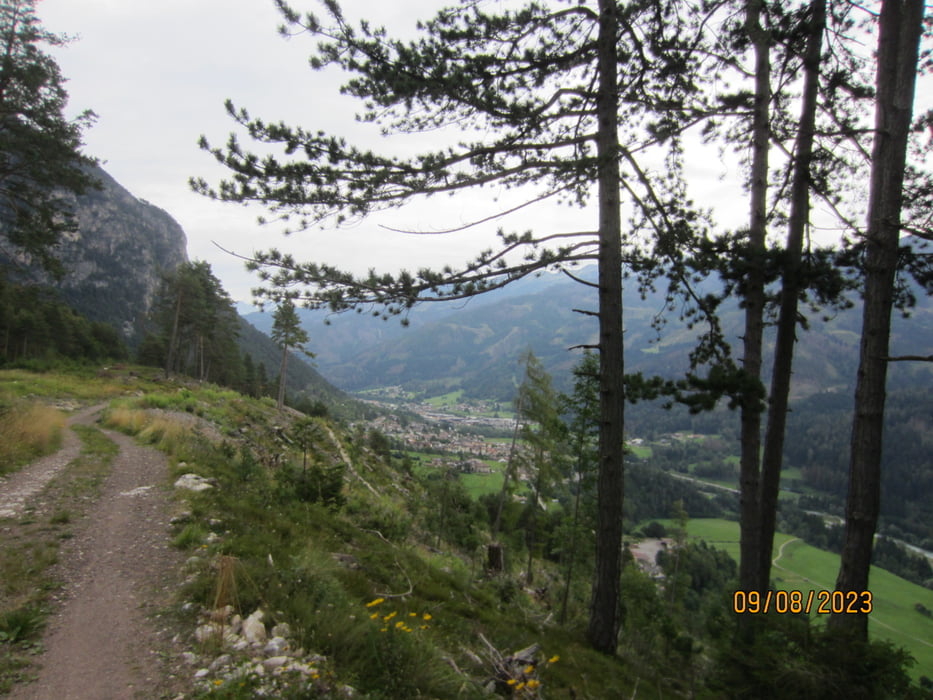
- Ab Stava auf Radweg talauswärts bis zum Langlaufzentrum/Trattoria KM 28,3 - MH 912.
- Weiter auf dem Radweg bis Masi di Cavalese KM 31,9 - MH 866.
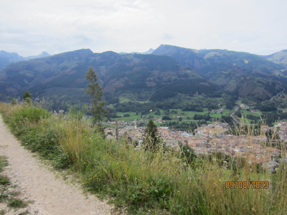
- Aufstieg auf Nebenwegen/Radweg über Cavalese zum Passo San Lugano KM 44,6 - MH 1.086.
- Kurze Abfahrt auf ehemaliger Bahntrasse zurück zum Ausgangspunkt KM 46,9 - MH 966.
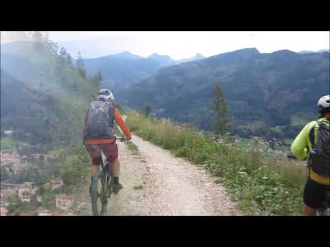
- Wir sind die Tour mit dem E-MTB gefahren.
- Auf der Strecke genügend Wasserstellen und Einkehrmöglichkeiten.
- Einen herzlichen Dank an Nicola Tretter/Rinco Boys für die Veröffentlichung der GPX-Daten. Grazie a Nicola Tretter/Rinco Boys per aver messo a disposizione i dati GPX die questo bel giro.
Tour gallery
Tour map and elevation profile
Minimum height 859 m
Maximum height 1362 m
More about the tour author
|
|
MargesinFriedrich |
Comments

GPS tracks
Trackpoints-
GPX / Garmin Map Source (gpx) download
-
TCX / Garmin Training Center® (tcx) download
-
CRS / Garmin Training Center® (crs) download
-
Google Earth (kml) download
-
G7ToWin (g7t) download
-
TTQV (trk) download
-
Overlay (ovl) download
-
Fugawi (txt) download
-
Kompass (DAV) Track (tk) download
-
Track data sheet (pdf) download
-
Original file of the author (gpx) download
More about the tour author
|
|
MargesinFriedrich |
Add to my favorites
Remove from my favorites
Edit tags
Open track
My score
Rate