


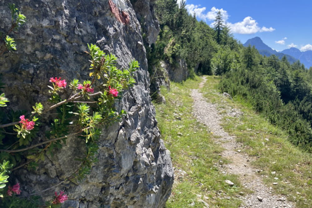
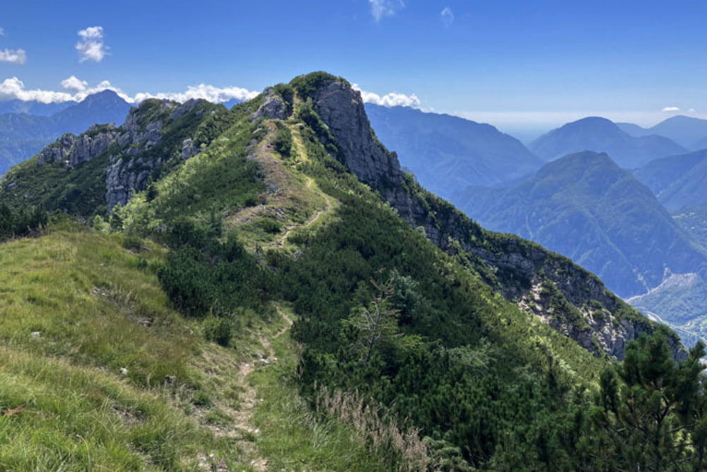
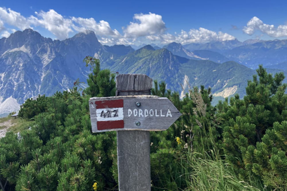
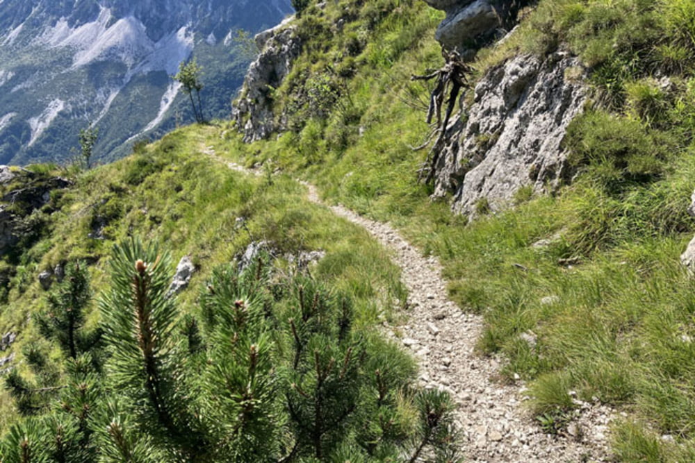
Moggio Udinese-Pradis-Stavolo del Zet-Riolada del Sotto-Riu da la Smesse-Rifugio Vualt-Sentiero 425-Ruderi Ospedale Militare-Casera Forchiettis (od ostankov planšarije Forchiettis do vrha je kolo potrebno potiskati, približno 1,5 km oziroma okoli 350 višincev!!!)-Clap dal Pauli-Sentiero 422-Monte Vualt (Ricovero Cjasut dal Scior)-Monte Forchiadice (spust od vrha vse do vasi Dordolla poteka po pešpoti Sentiero 422, pomeni okoli 6km, oziroma skoraj 1300 višincev; steza je lepo prevozna, v zgornjem delu mestoma precej izpostavljena, na teh delih je padec ali zdrs lahko usoden)-Dordolla-Val Aupa-Moggio Udinese
Further information at
https://mtb-itd.si/Einschränkungen
This tour has a carry or push section on 1.5 kilometers
Tour gallery
Tour map and elevation profile
Minimum height 280 m
Maximum height 1682 m
More about the tour author
|
|
andrejno |
Comments

Moggio Udinese-Pradis-Stavolo del Zet-Riolada del Sotto-Riu da la Smesse-Rifugio Vualt-Sentiero 425-Ruderi Ospedale Militare-Casera Forchiettis-Clap dal Pauli-Sentiero 422-Monte Vualt (Ricovero Cjasut dal Scior)-Monte Forchiadice-Dordolla-Val Aupa-Moggio Udinese
Einschränkungen
This tour has a carry or push section on 1.5 kilometers
GPS tracks
Trackpoints-
GPX / Garmin Map Source (gpx) download
-
TCX / Garmin Training Center® (tcx) download
-
CRS / Garmin Training Center® (crs) download
-
Google Earth (kml) download
-
G7ToWin (g7t) download
-
TTQV (trk) download
-
Overlay (ovl) download
-
Fugawi (txt) download
-
Kompass (DAV) Track (tk) download
-
Track data sheet (pdf) download
-
Original file of the author (gpx) download
More about the tour author
|
|
andrejno |
Add to my favorites
Remove from my favorites
Edit tags
Open track
My score
Rate