

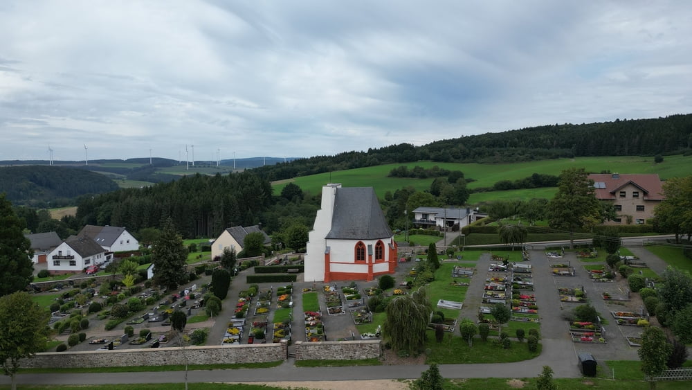
Een zeer mooie wandeling door bos en over heuvel in het Eifelgebied rondom Pronsfeld.
Op sommige stukken gaat het wel heel steil dus degelijk schoeisel is aan te raden.
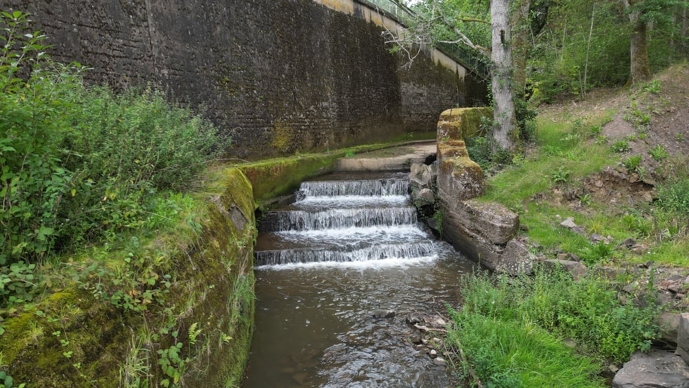
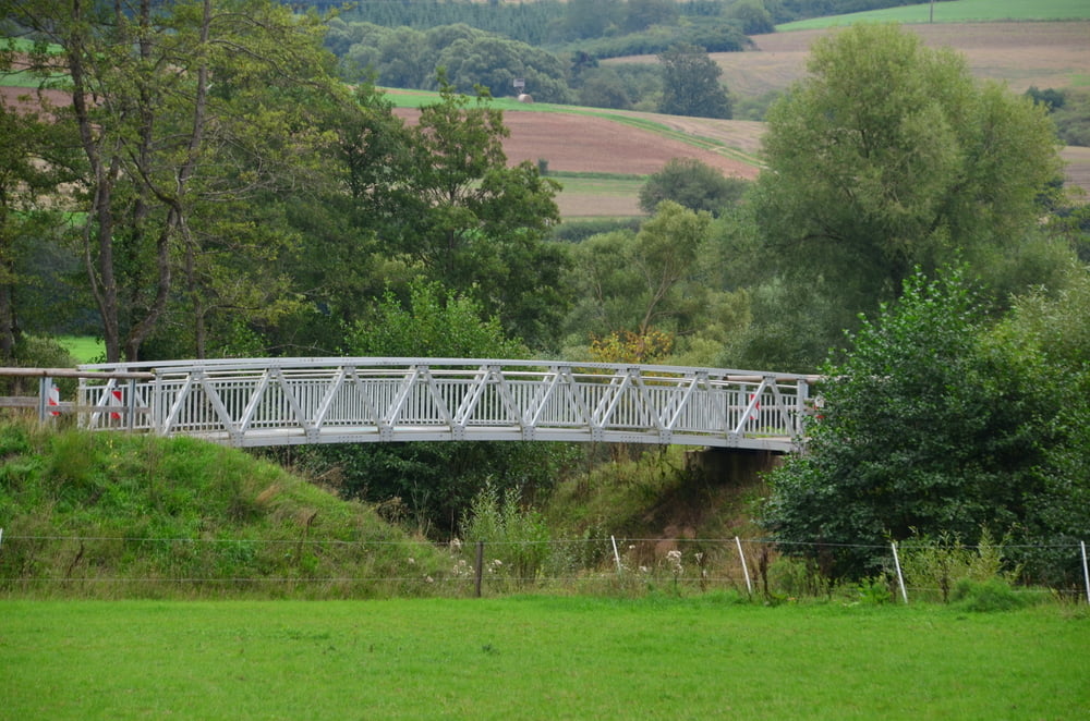
Van Lünebach terug naar Pronsfeld gaat over het vlakke fietspad, vergeet onderweg geen kijkje te nemen aan het Bierbach viaduct.
Als het gasthaus in Lünebach open is dan kan je daar iets te drinken krijgen, indien geslotenheeft de kebabzaak ook een koelkast waar je (dure) drankjes kan kopen.
Op sommige stukken gaat het wel heel steil dus degelijk schoeisel is aan te raden.
Van Lünebach terug naar Pronsfeld gaat over het vlakke fietspad, vergeet onderweg geen kijkje te nemen aan het Bierbach viaduct.
Als het gasthaus in Lünebach open is dan kan je daar iets te drinken krijgen, indien geslotenheeft de kebabzaak ook een koelkast waar je (dure) drankjes kan kopen.
Tour gallery
Tour map and elevation profile
Minimum height 351 m
Maximum height 470 m
More about the tour author

|
ikkel |
Comments

GPS tracks
Trackpoints-
GPX / Garmin Map Source (gpx) download
-
TCX / Garmin Training Center® (tcx) download
-
CRS / Garmin Training Center® (crs) download
-
Google Earth (kml) download
-
G7ToWin (g7t) download
-
TTQV (trk) download
-
Overlay (ovl) download
-
Fugawi (txt) download
-
Kompass (DAV) Track (tk) download
-
Track data sheet (pdf) download
-
Original file of the author (gpx) download
More about the tour author
|
|
ikkel |
Add to my favorites
Remove from my favorites
Edit tags
Open track
My score
Rate