Login

Forgot your login?

Cookies have to be accepted!
Your browser's cookie functionality is disabled. Please enable this functionality.

Not a member yet?

Register now
Login

Available for registred users only

Log in to use this feature.

Forgot your login?

Cookies have to be accepted!
Your browser's cookie functionality is disabled. Please enable this functionality.

Not a member yet?

Register now
Filter
Categories
Advanced filters
  • Distance (km)
  • Height
Save filters Reset filter

TrackRank

QRCode

Technical data

Distance9,9 km Height221 m Way down217 m Duration01:41 h:m Date26.08.2023
Scores Author Landscape Fun factor Fitness Technique

Statistics

229 Views Scores 2 Downloads Average
Rate
  • Track data sheet
  • Directions
  • Downloads

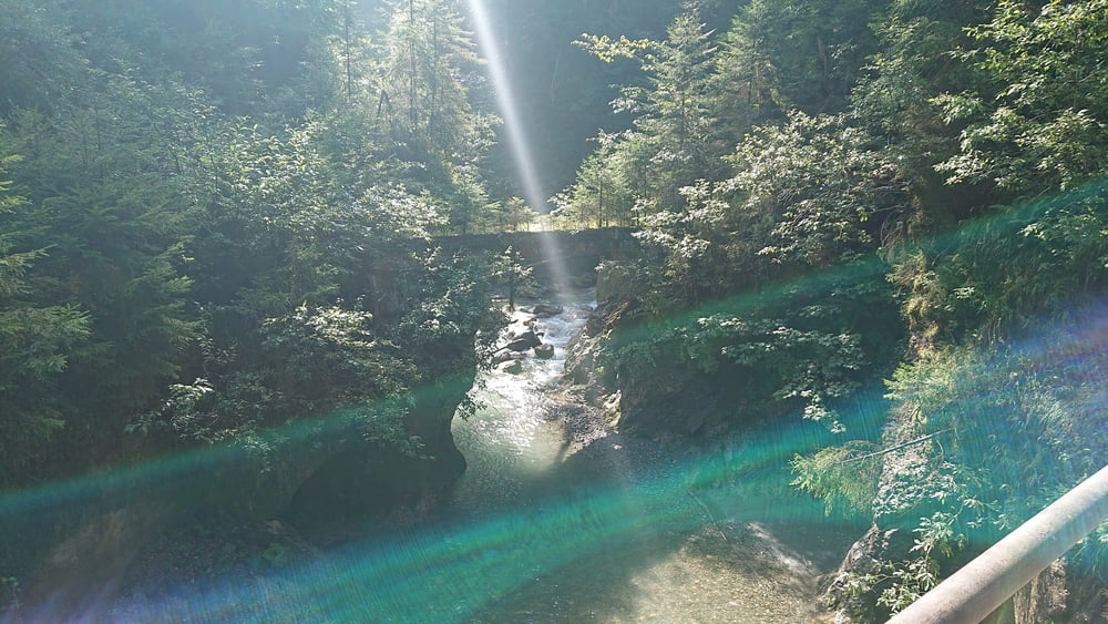
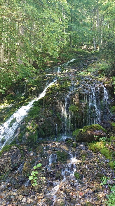
Wir starten am Wanderparkplatz hinter dem Gasthof Eiserne Hand und wandern dem Hörndlinger Graben entlang der Forststraße bis zum Gasthof Pulvermacher Scherm.

https://www.pulvermacher-almhuette.tirol/

Tour gallery

Tour map and elevation profile

  • Open Street Map
  • Google
Minimum height 695 m Maximum height 902 m Detailed view

More about the tour author

hetzenauerm
Member since 2016

Send private message

Comments

Von der Hochkönig Bundestraße abbiegen in die Dandlerau und weiter bis zum Ortsteil Trixlegg wo sich der Gasthof Eiserne Hand befindet. Hinter dem Gasthof die Brücke überqueren und am Wanderparklplatz parken.

https://goo.gl/maps/1oTVdsH55KAArZcq9

GPS tracks

Trackpoints
  • GPX / Garmin Map Source (gpx) download
  • TCX / Garmin Training Center® (tcx) download
  • CRS / Garmin Training Center® (crs) download
  • Google Earth (kml) download
  • G7ToWin (g7t) download
  • TTQV (trk) download
  • Overlay (ovl) download
  • Fugawi (txt) download
  • Kompass (DAV) Track (tk) download
  • Track data sheet (pdf) download
  • Original file of the author (gpx) download

More about the tour author

hetzenauerm
Member since 2016

Send private message
Share track
Add to my favorites
Remove from my favorites
Edit tags
My score
Rate
Track: Von der Eisernen Hand zum Pulvermacher
Type: Hiking
Distance: 9,9 km
Evaluated on:
Duration:
Day(s)
Hour(s)
Minute(s)
Score: Landscape Fun factor Fitness Technique