Login

Forgot your login?

Cookies have to be accepted!
Your browser's cookie functionality is disabled. Please enable this functionality.

Not a member yet?

Register now
Login

Available for registred users only

Log in to use this feature.

Forgot your login?

Cookies have to be accepted!
Your browser's cookie functionality is disabled. Please enable this functionality.

Not a member yet?

Register now
Filter
Categories
Advanced filters
  • Distance (km)
  • Height
Save filters Reset filter

TrackRank

QRCode

Technical data

Distance19,9 km Height1100 m Way down1080 m Duration04:30 h:m Date06.09.2023
Scores Author Landscape Fun factor Fitness Technique

Statistics

126 Views Scores 1 Download Average
Rate
  • Track data sheet
  • Directions
  • Downloads
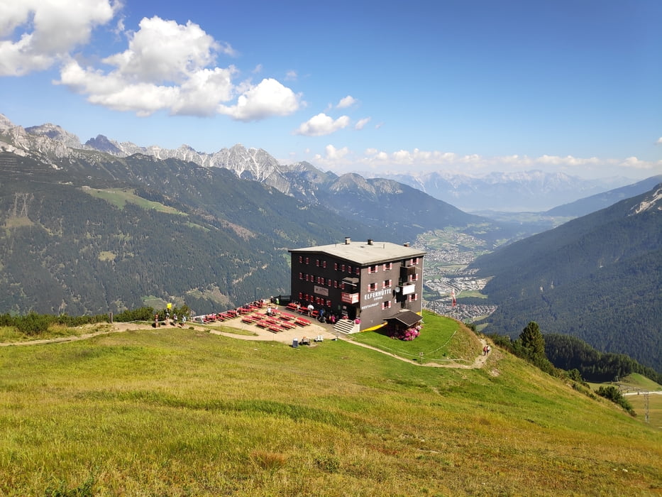
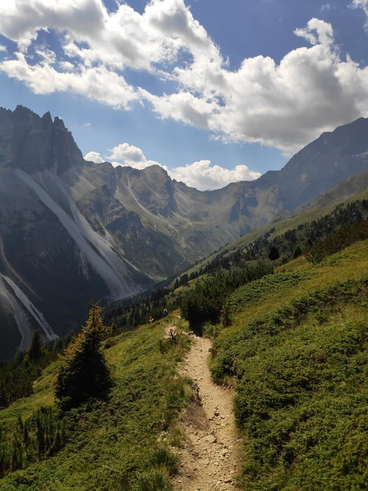
Vom Parkplatz des Elferlifts in Neustift über die Bergstation zur Elferhütte. Von dort weiter über den Panoramaweg und alsbald wieder hinab zur Pinnisalm. Durch das Pinnistal vorbei an der Issenangeralm zürück zum Ausgangspunkt.

Tour gallery

Tour map and elevation profile

  • Open Street Map
  • Google
Minimum height 983 m Maximum height 2137 m Detailed view

More about the tour author

klixx
Member since 2009

Send private message

Comments

Start und Ziel ist der Parkplatz des Elferlifts in Neustift

GPS tracks

Trackpoints
  • GPX / Garmin Map Source (gpx) download
  • TCX / Garmin Training Center® (tcx) download
  • CRS / Garmin Training Center® (crs) download
  • Google Earth (kml) download
  • G7ToWin (g7t) download
  • TTQV (trk) download
  • Overlay (ovl) download
  • Fugawi (txt) download
  • Kompass (DAV) Track (tk) download
  • Track data sheet (pdf) download
  • Original file of the author (gpx) download

More about the tour author

klixx
Member since 2009

Send private message
Share track
Add to my favorites
Remove from my favorites
Edit tags
My score
Rate
Track: Über die Elferhütte durchs Pinnistal
Type: Hiking
Distance: 19,9 km
Evaluated on:
Duration:
Day(s)
Hour(s)
Minute(s)
Score: Landscape Fun factor Fitness Technique