


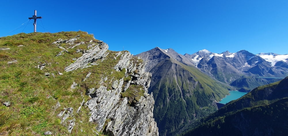
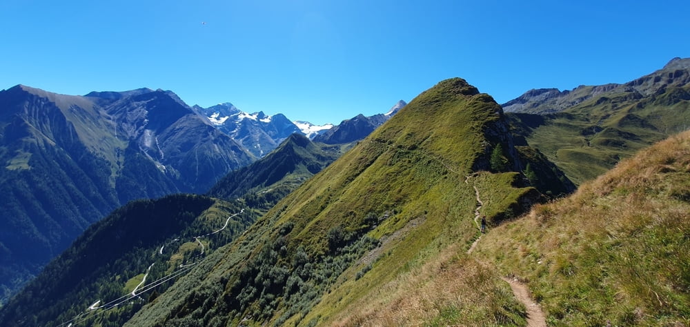
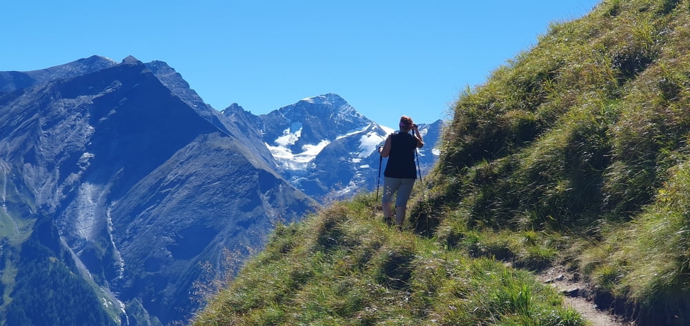
Wunderschöne , herrliche Höhenwanderung im Gebiet von Kaprun. Trittsicherheit insbesondere zum Abstecher Geißsteins unbedingt erforderlich. Dieser kann aber für nicht schwindelfreie Wanderer ausgelassen werden. Aber auch der Alexander Enzingerweg ist kein Spazierweg! (auch wenn man die Seilbahnen als Auf-und Abstiegshilfe benützt)
-----
Planen Sie die Tour als Ganztagestour dann bleibt genug Zeit zum "in die Landschaft schauen"!
Auffahrt von Kaprun zum Maiskogel mit der Bahn. Und runter entweder mit der Panoramabahn (Kitzsteinhornbahnen) und mit dem Bus wieder zurück nach Kaprun oder mit dem Seilbahn K-onnection zum Maiskogel und dort hinunter nach Kaprun.
Further information at
https://www.satcom.at/alexander-enzingerweg-geissstein/Tour gallery
Tour map and elevation profile
Minimum height 1576 m
Maximum height 2299 m
More about the tour author
|
|
GarminSalzburg |
Comments

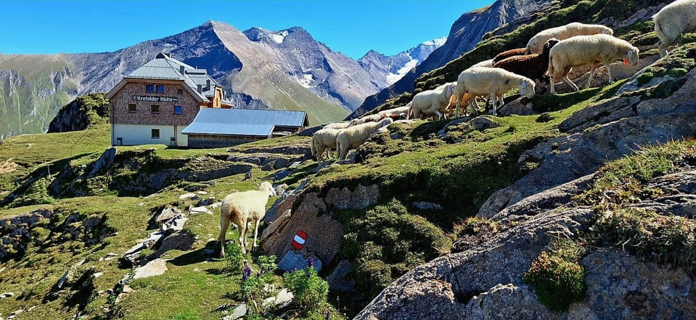
Großer Parkplatz in Kaprun - Maiskogelbahnen
GPS tracks
Trackpoints-
GPX / Garmin Map Source (gpx) download
-
TCX / Garmin Training Center® (tcx) download
-
CRS / Garmin Training Center® (crs) download
-
Google Earth (kml) download
-
G7ToWin (g7t) download
-
TTQV (trk) download
-
Overlay (ovl) download
-
Fugawi (txt) download
-
Kompass (DAV) Track (tk) download
-
Track data sheet (pdf) download
-
Original file of the author (gpx) download
More about the tour author
|
|
GarminSalzburg |
Add to my favorites
Remove from my favorites
Edit tags
Open track
My score
Rate