


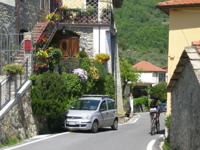
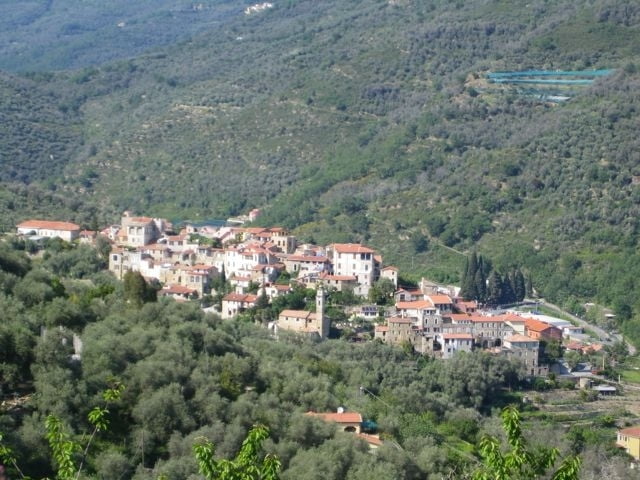
Startpunkt ist Dolcedo. Du verlässt den Ort südlich in Richtung Imperia. Dann geht es bei einer Y-Kreuzung scharf links und von da ab immer bergauf. Am Ende des Örtchens Vasia zweigt eine kleine Straße rechts ab, die weiter bergauf bis zu einem Sattel mit einer weißen Kapelle führt. Dort oben sind Almen und man kann in alle Richtungen weit sehen. Nördlich die Gletscher der Alpen, südlich das blaue Mittelmeer der Riviera. Dann geht es hinuter, bis kurz vor Lucinasco. Wir biegen links ab, fahren eine längere Querung und kommen schließlich wieder auf Höhe von San Sebastiano auf eine Passstraße, der wir wiederum links bergauf folgen. Vorbei an Ville San Pietro geht es wieder hinauf bis wir an einer Kreuzung links abbiegen um auf einem Sattel südlich zu queren. Nun folgt die Abfahrt durch viele Serpentinen und kleine Ortschaften bis hinunter nach Dolcedo.
Tour gallery
Tour map and elevation profile
Minimum height 82 m
Maximum height 842 m
More about the tour author
|
|
Telebike |
Comments

Von Imperia, nach Dolcedo, dort einfach Parkplatz suchen und ab ...
GPS tracks
Trackpoints-
GPX / Garmin Map Source (gpx) download
-
TCX / Garmin Training Center® (tcx) download
-
CRS / Garmin Training Center® (crs) download
-
Google Earth (kml) download
-
G7ToWin (g7t) download
-
TTQV (trk) download
-
Overlay (ovl) download
-
Fugawi (txt) download
-
Kompass (DAV) Track (tk) download
-
Track data sheet (pdf) download
-
Original file of the author (gpx) download
More about the tour author
|
|
Telebike |
Add to my favorites
Remove from my favorites
Edit tags
Open track
My score
Rate