


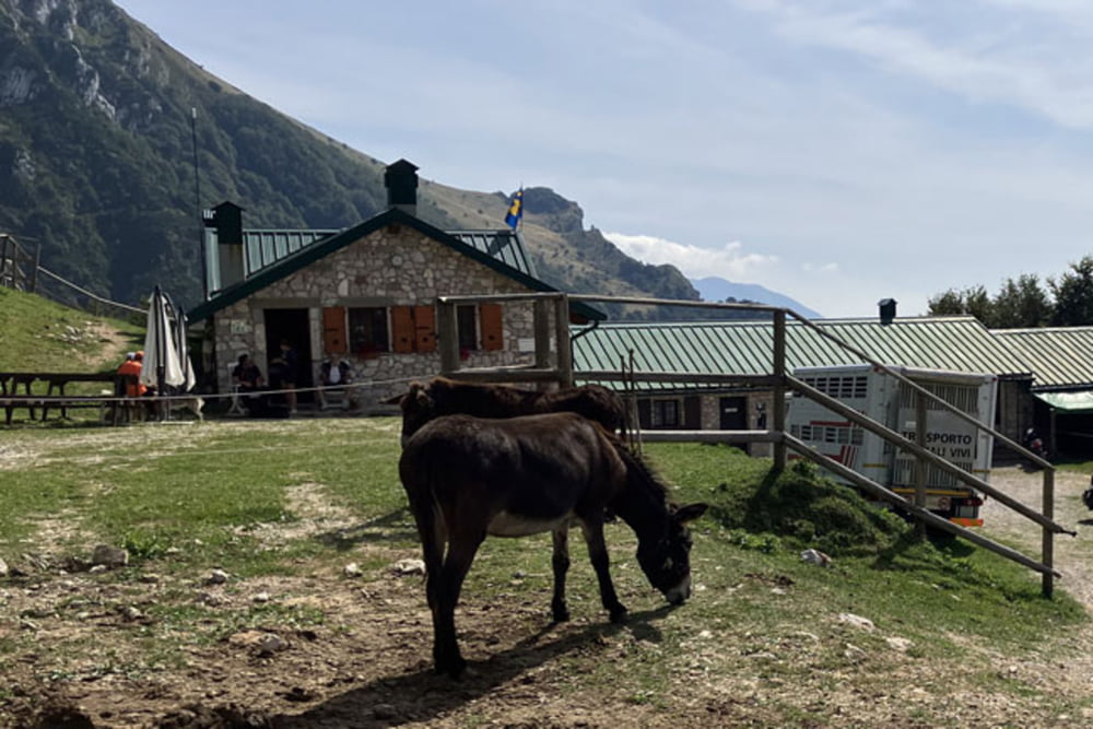
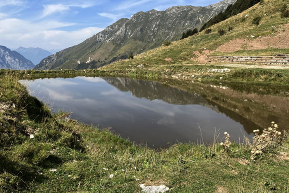
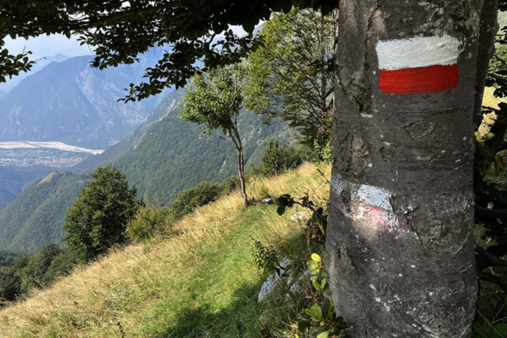
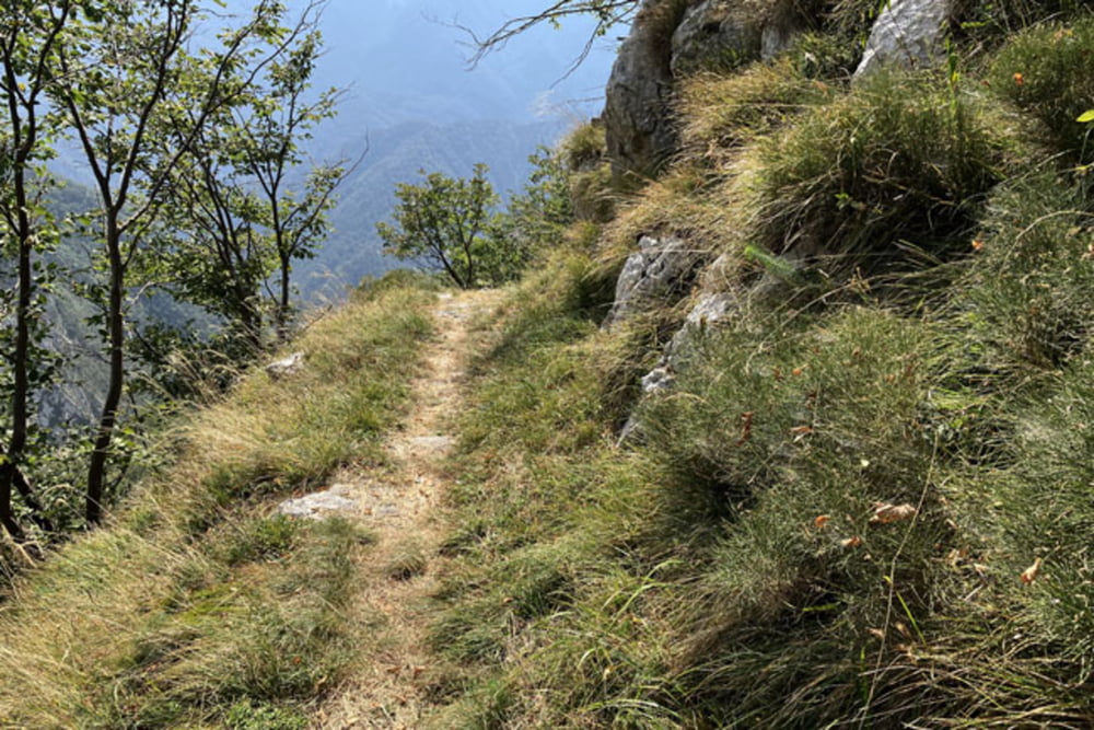
Venzone-Via Pragjel-Strada della Val Venzonassa-Borgo Costa-Borgo Prabunello-Pale dai Baraz-Sentiero 726-Malga Confin-Malga Ungarina-Sentiero 705 (po slabem kilometru spusta iz Malga Ungarina, se Sentiero 705 začne vzpenjati; pri prečenju soteske hudourniškega potoka Rio Gran Rio je kolo na več delih potrebno potiskati/nositi. Tudi v nadaljevanju kamnita podlaga na nekaj predelih ne omogoča vožnje s kolesom. Na splošno pa je spust po Sentiero 705 pravi užitek)-Stavolo Zuet-Stavolo Burit-Borgo Mastrui-Strette di Uarbe-Venzone
Further information at
https://mtb-itd.si/Einschränkungen
This tour has a carry or push section on 0.5 kilometers
Tour gallery
Tour map and elevation profile
Minimum height 244 m
Maximum height 1304 m
More about the tour author
|
|
andrejno |
Comments

Venzone-Via Pragjel-Strada della Val Venzonassa-Borgo Costa-Borgo Prabunello-Pale dai Baraz-Sentiero 726-Malga Confin-Malga Ungarina-Sentiero 705-Stavolo Zuet-Stavolo Burit-Borgo Mastrui-Strette di Uarbe-Venzone
Einschränkungen
This tour has a carry or push section on 0.5 kilometers
GPS tracks
Trackpoints-
GPX / Garmin Map Source (gpx) download
-
TCX / Garmin Training Center® (tcx) download
-
CRS / Garmin Training Center® (crs) download
-
Google Earth (kml) download
-
G7ToWin (g7t) download
-
TTQV (trk) download
-
Overlay (ovl) download
-
Fugawi (txt) download
-
Kompass (DAV) Track (tk) download
-
Track data sheet (pdf) download
-
Original file of the author (gpx) download
More about the tour author
|
|
andrejno |
Add to my favorites
Remove from my favorites
Edit tags
Open track
My score
Rate